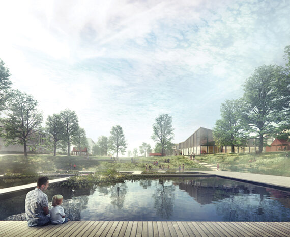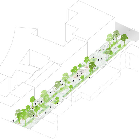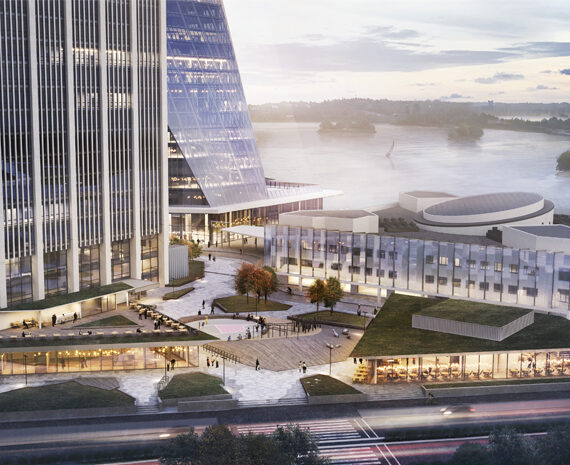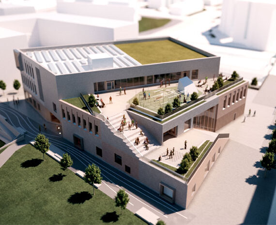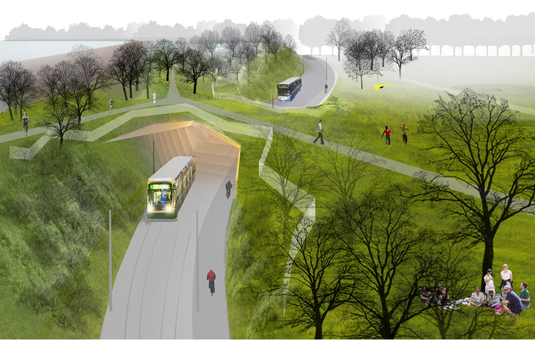
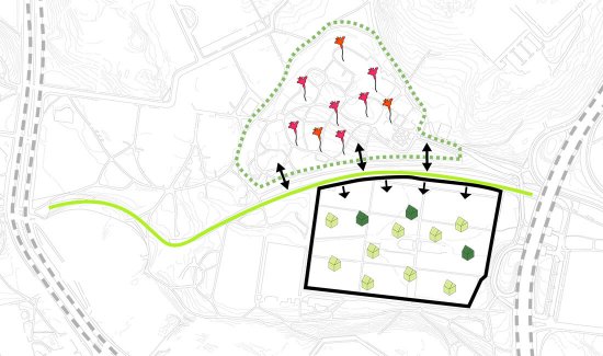
The passageway is situated in -between two very different and delicate green areas. Kumpula Botanical Garden and Vallila allotment gardens.
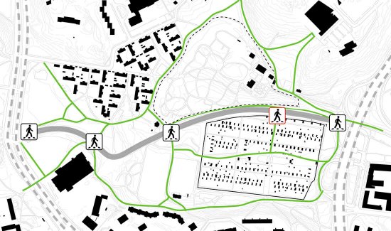
New pedestrian crossings are formed as the new passageway is introduced to the park area.
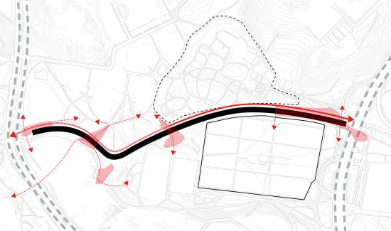
The new public transport passageway forms a connecting spine traversing the park. The light traffic junctions are accentuated so that the changes in traffic speed and rhythm are clearly noticeable.
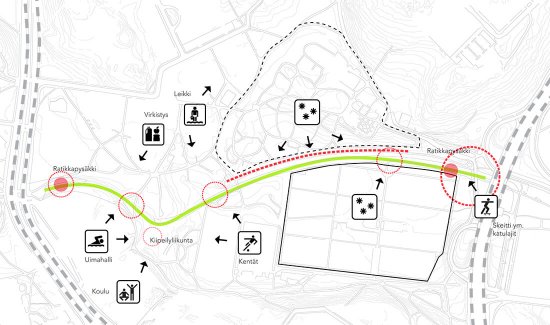
The approach of the plan is to add activities around the new route. More urban, street activities that require paved surfaces are directly connected to the route. Park-like, recreational and playground activities are indirectly connected to the route in the surrounding park.
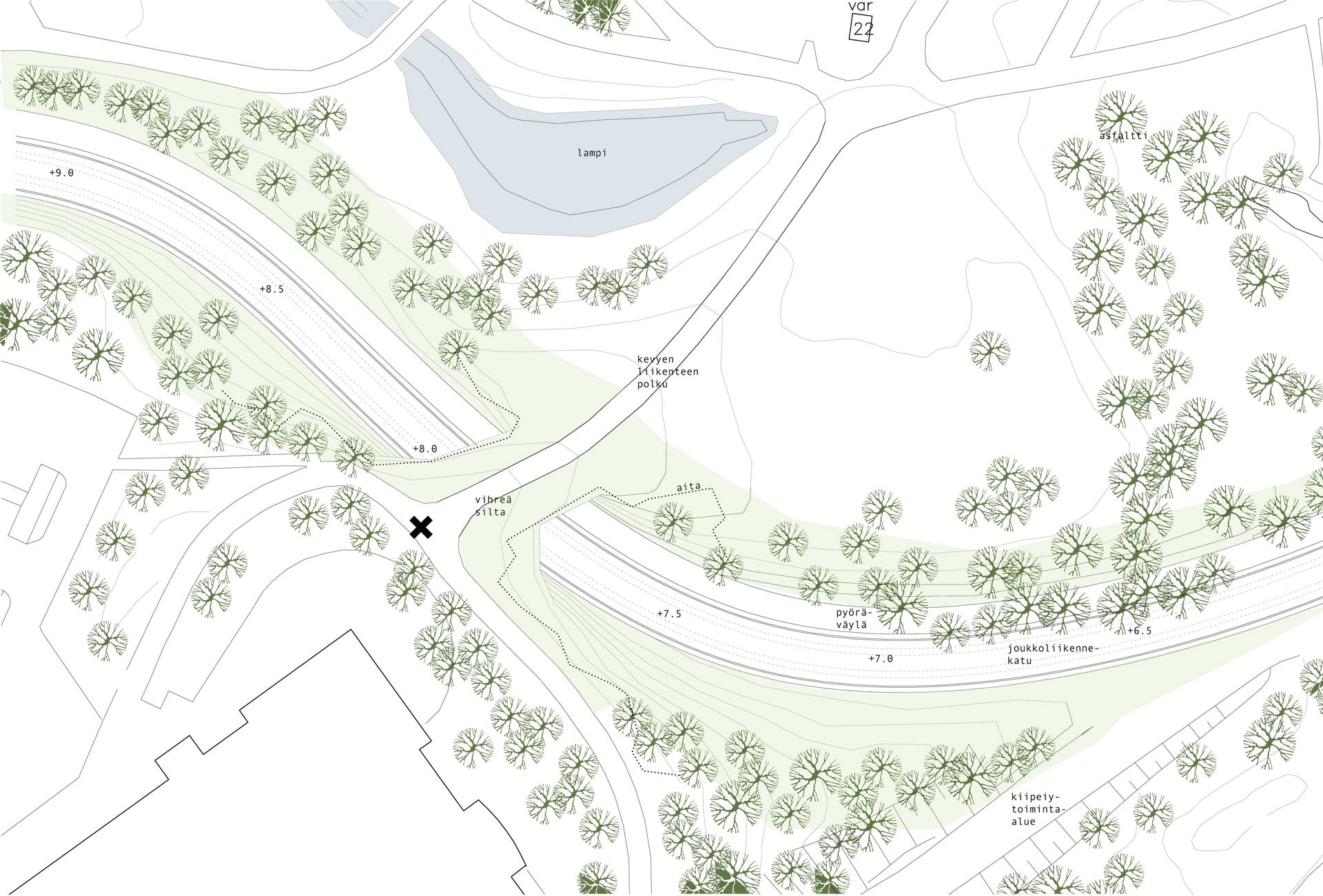
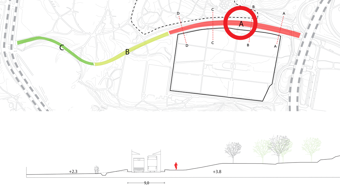
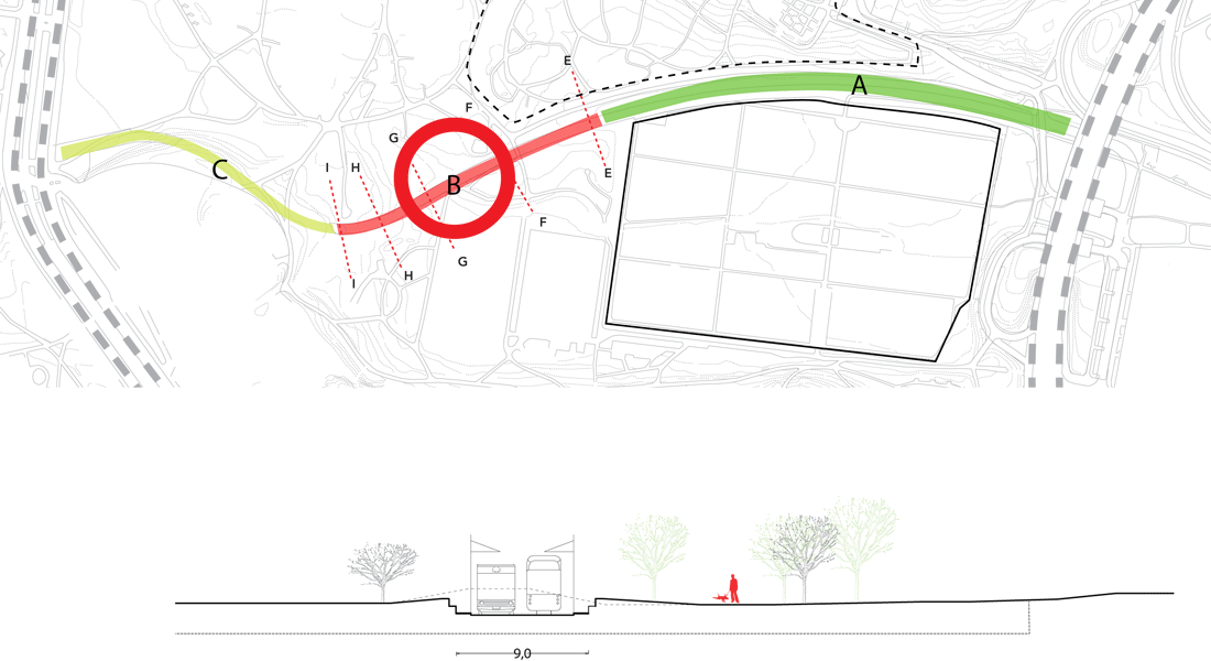
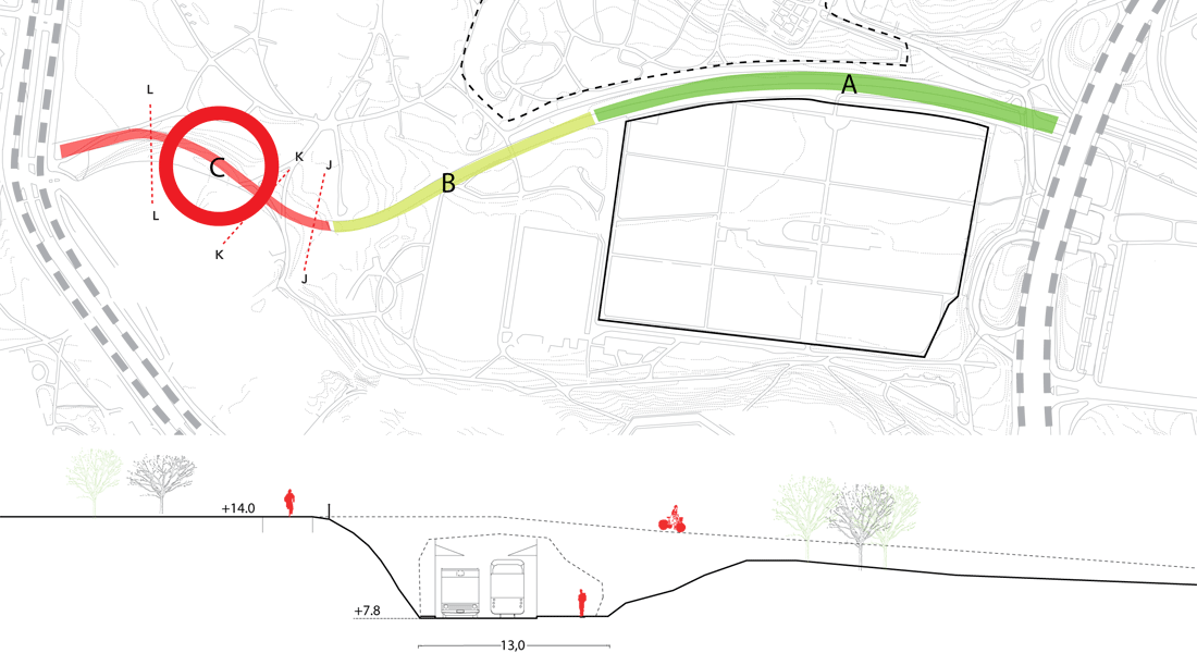
The public transport route is divided into three area typologies. Part A runs between the botanical garden, which is on a hill, and allotments in the valley. On part B the sides of the route are mostly on the same level, partly carving its way into the hilly land. Places for lingering are planned for these cuts into the landscape. Part C lies relatively deeply in the terrain. The edges of the deep part of the passageway are designed as round, flowing surfaces, thus forming soft sections and agreeable street spaces for light
traffic, and blending the route into the surrounding nature. As it carves into the existing hilly terrain, an edge of minimum 0,5 meters is formed, allowing the buses and tram to be brought down to a pedestrian-friendly level. Furthermore, the edging moderates the traffic noises. Squares and crossings are scattered along the route like pearls on a string. The junction-squares slow down the traffic, and show where it is safe to cross.
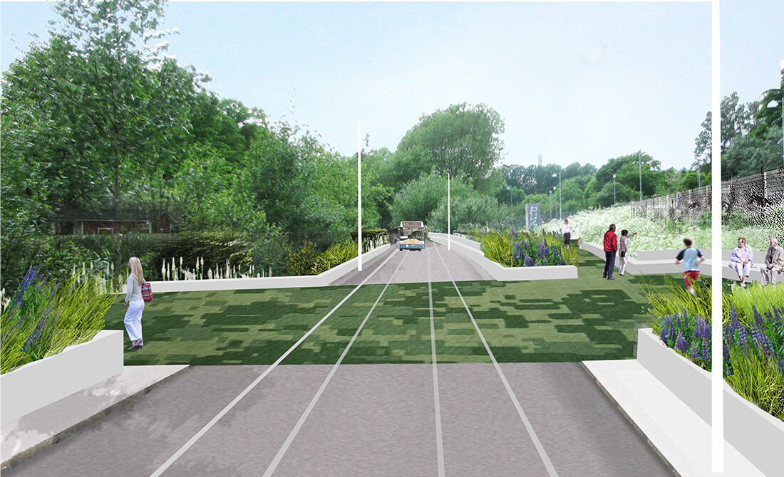
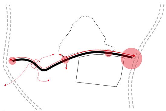
The squares function as light traffic junctions, scatter like pearls on a string along the route.
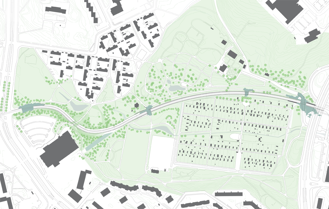
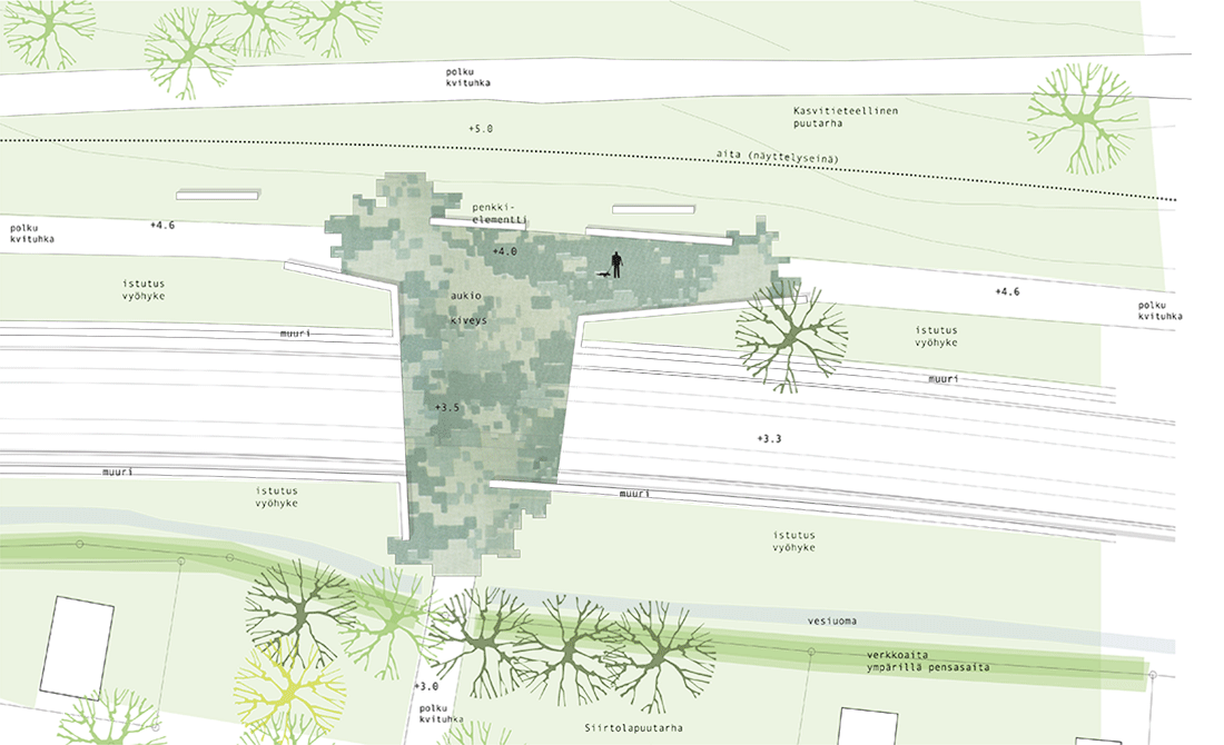
Example on an accentuated light traffic crossing.

Process studies of the crossover bridge.
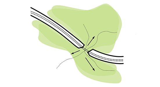
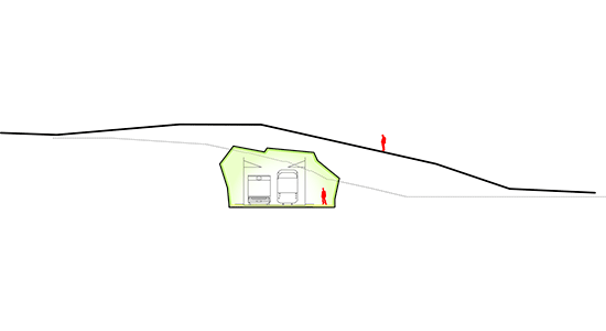
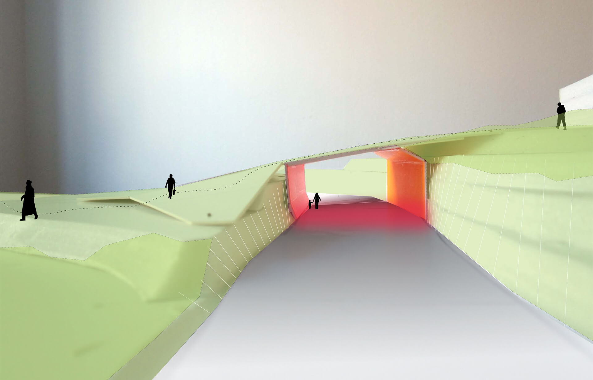
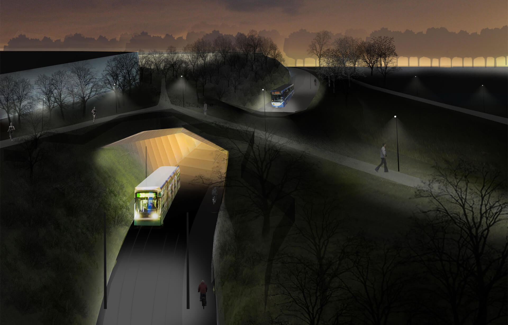
A green crossover bridge is situated where the passageway cuts deep into the terrain. The crossover deck is a nature-like, wide surface, which is easy to walk on but blends into the surrounding nature. Under the deck, the traffic tunnel is designed as a cave-like, sculptural space in contrast to its surface. The varying ragged and softly shaped cliff aligns the street and forms a lush and green frame. The plantings soften the atmosphere, by for example hiding the view towards the parking area of the swimming
complex and other cold, urban characteristics, to prevent them from disturbing the peaceful park space.
The parts which are less steep are mostly planted with durable trees, such as birches and poplars. In the steep places, the plan suggests dense and lush shrubbery, such as willows, to create carpet like vegetation.
A path descends from the top of the deck from the swimming complex to the park, following its existing alignment.
