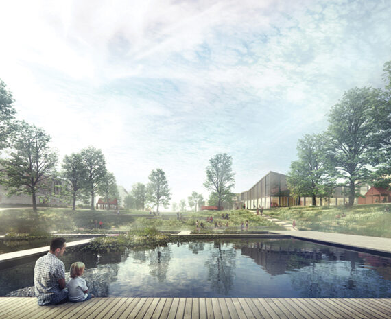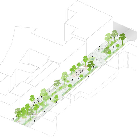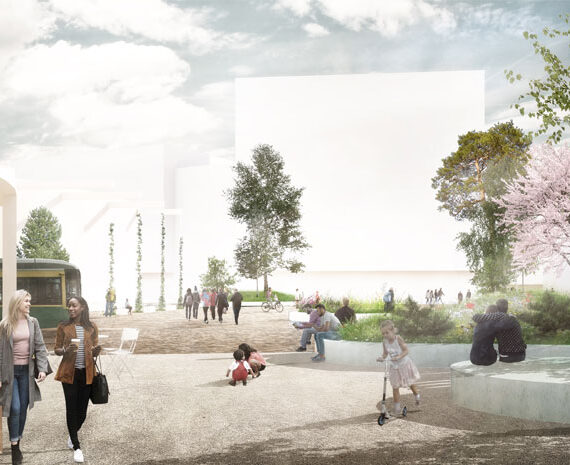
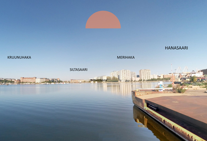
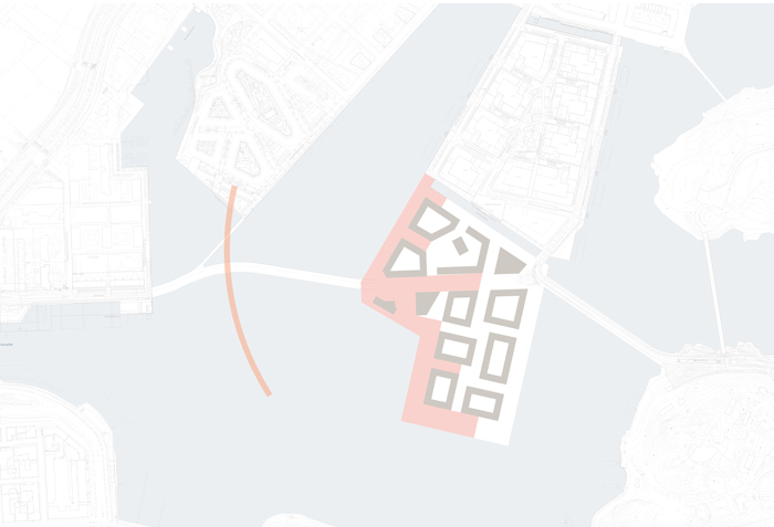
West shore: Afternoon and evening sun. View to Helsinki city centre
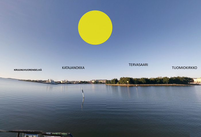
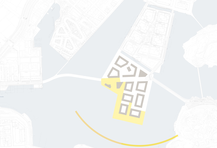
South shore: Midday sun. View to the Baltic Sea
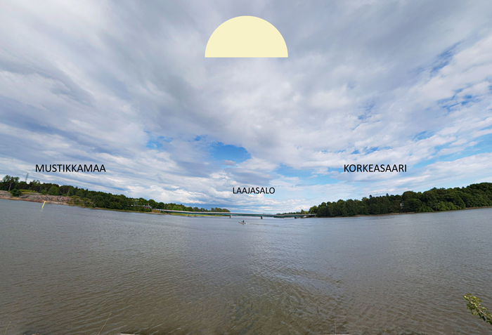
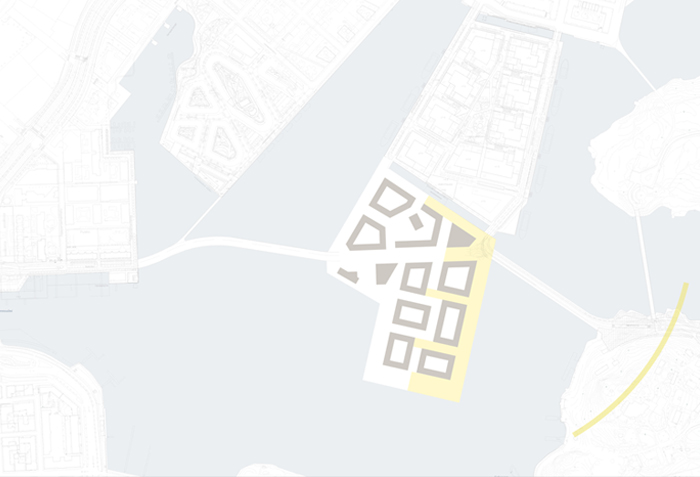
East shore: Morning sun. View to the archipelago islands
Developing a neighbourhood rooted in its context
The former industrial port area of Kalasatama is a large landfill area. Historically the area consisted of a group of islands, one of them called ‘Nihti’.
With the transformation of the industrial areas into housing, the island of Nihti will be restored as a modern housing area in between urbanity and nature. The materials and programming of the area are carefully selected to preserve the identity of Nihti. The overall design concept is built around the movement of the sun and the landscape characters of the surrounding areas.
The Nihti island is surrounded by water, and the masterplan creates diverse topologies of how land and sea relate to each other.
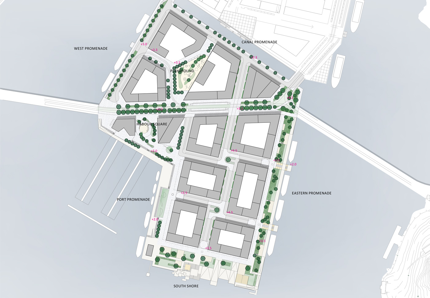
The inner part of the island is differentiated from the shoreline areas, with a clear and traditional residential character for the inner part, and a strong public character for the seaside perimeter. In the shore areas, diverse spaces and programming provide activities for all ages throughout the seasons.
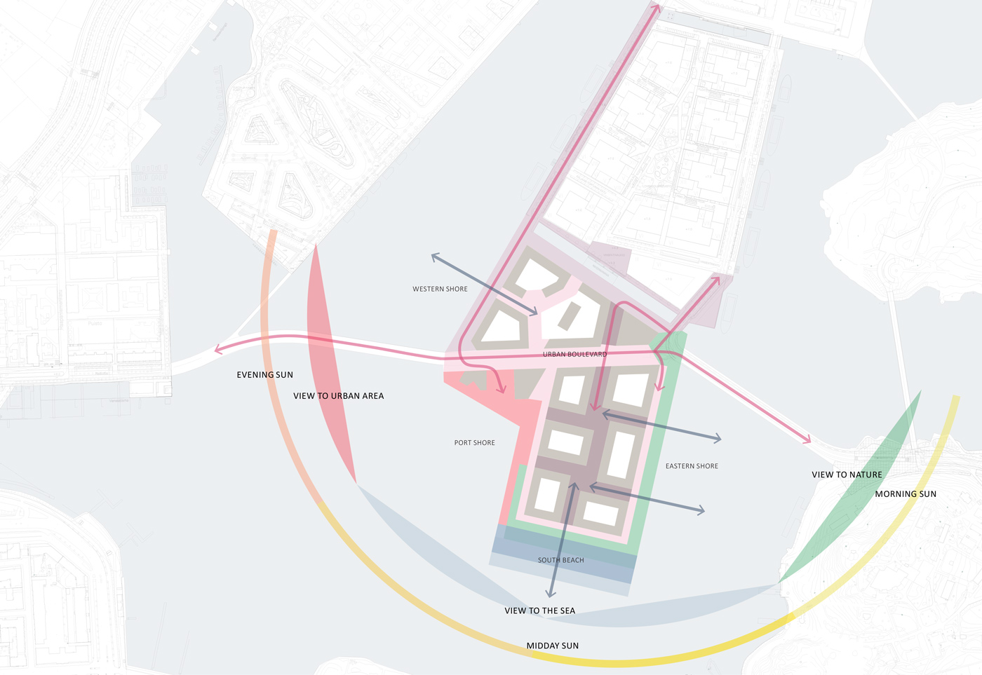
The neighbourhood is defined by the water and views surrounding it. There a 180 angle ‘of interest’, which break the shoreline down to three main areas. The west shore is a part of the urban context of the city centre and Siltasaari, whereas the south shore has the strongest connection with the open sea, and the east shore is connected with the green archipelago landscape. The north edge of the area runs along the canal and continues the urbanity of Sompasaari.
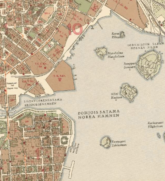
As seen on the historic map, the Kalasatama area is landfill between the mainland and four smaller islands, and one of them called ‘Nihti’.
Now the industrial port will be transformed into residential areas and a new channel will cut through and establish the Nihti-neighbourhood as an island on the tip.
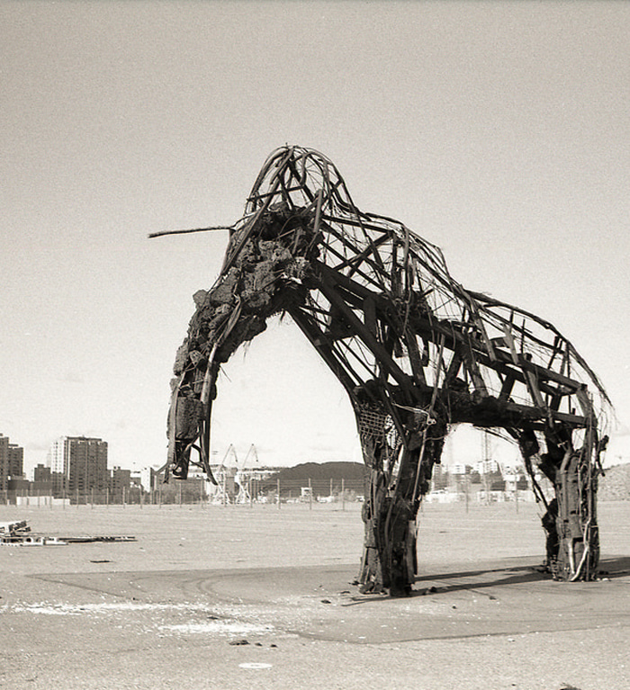
The Mammut by Riitta Kopra, 2012
In the transition period from industry to housing, the empty area has been utilized through varied community-based urban life, ranging from urban farming to art, dance and music events. The atmosphere of community and identity as a cultural scene has been a guideline for how to develop the area.
Creating a diverse public promenade
With the masterplan, we create a set of truly diverse public spaces that offer a variety of characters and with activities suitable for all ages, all derived from the unique setting and atmosphere already existing.
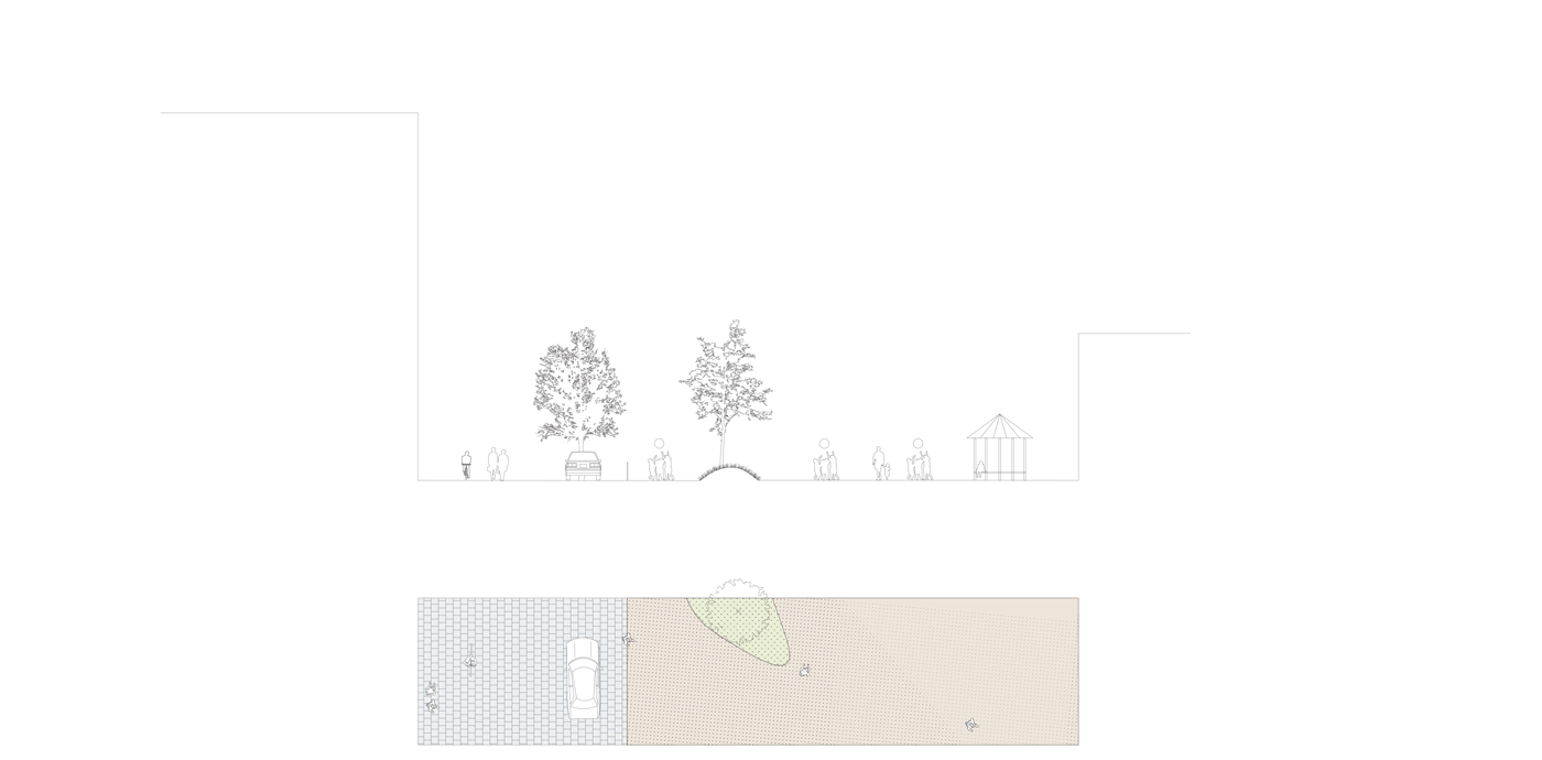
The streetscapes of Nihti will follow two strategies. The inner part continues solutions traditional to Helsinki, and the shore area proposes typologies new to the city. The shoreline forms an interesting sequence of spaces, with flexible designs that inspire to be used in different ways, both active areas for sport, play and local events, and areas of stay and relaxation.
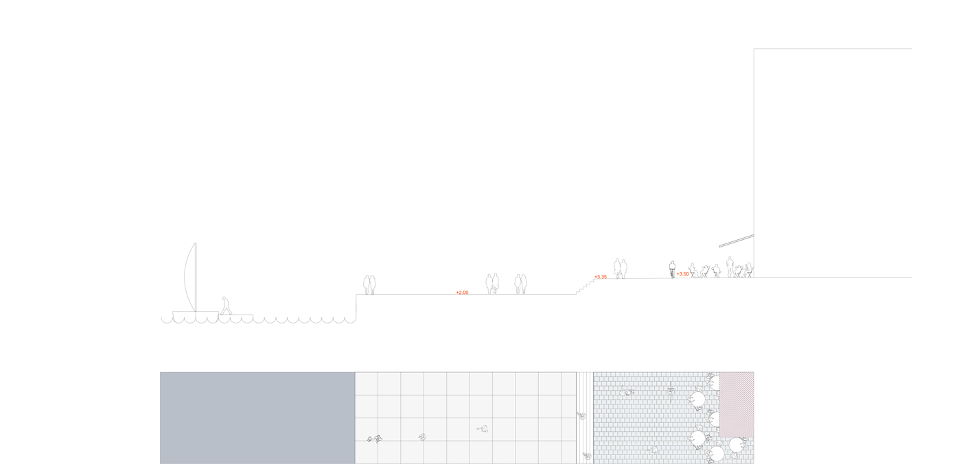
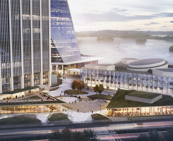
The west shore is the most urban part, with Harbour Square as the heart of the neighbourhood. The tramstop, marina, hotel and seaside cafées together with flexible spaces for art- and music events will establish a vibrant local centre.
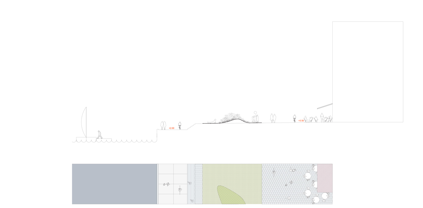
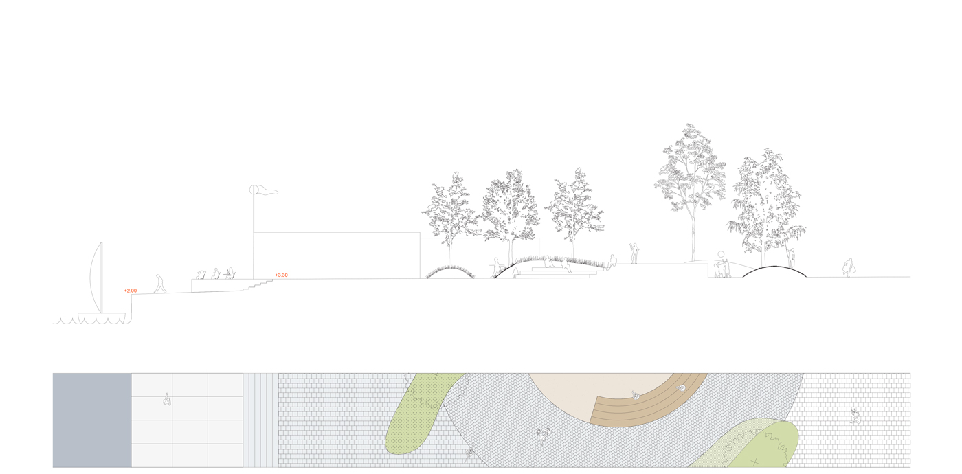
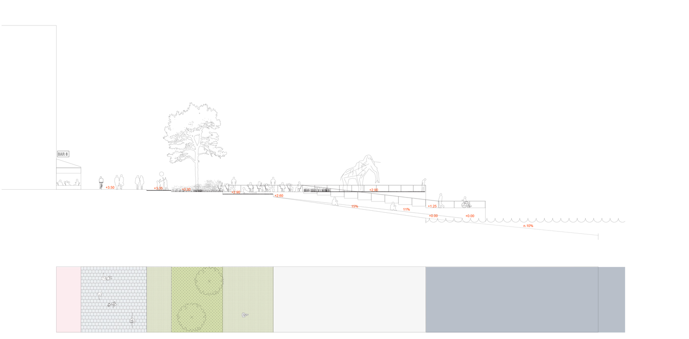
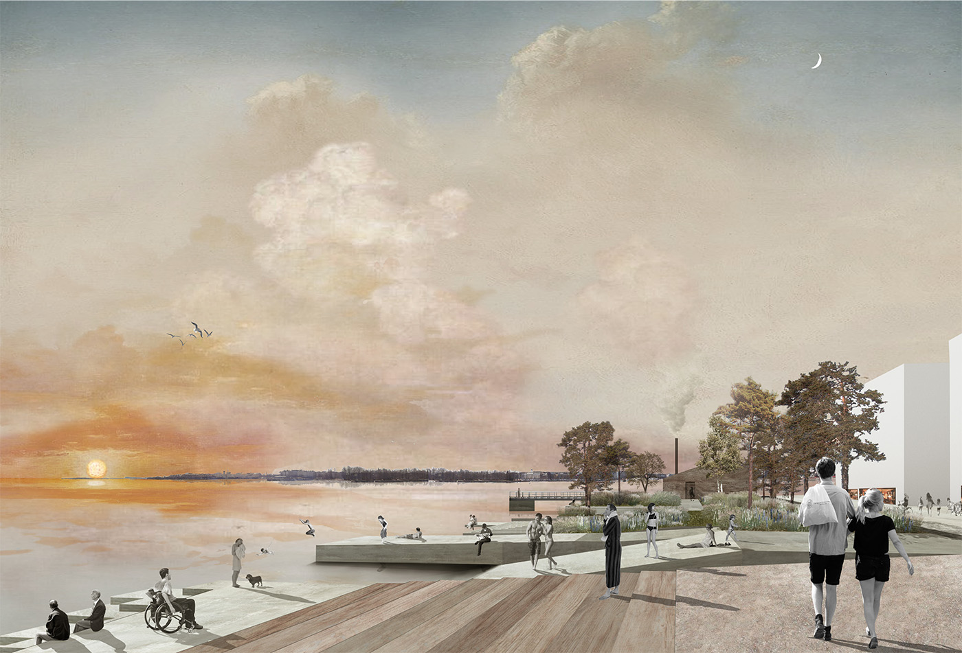
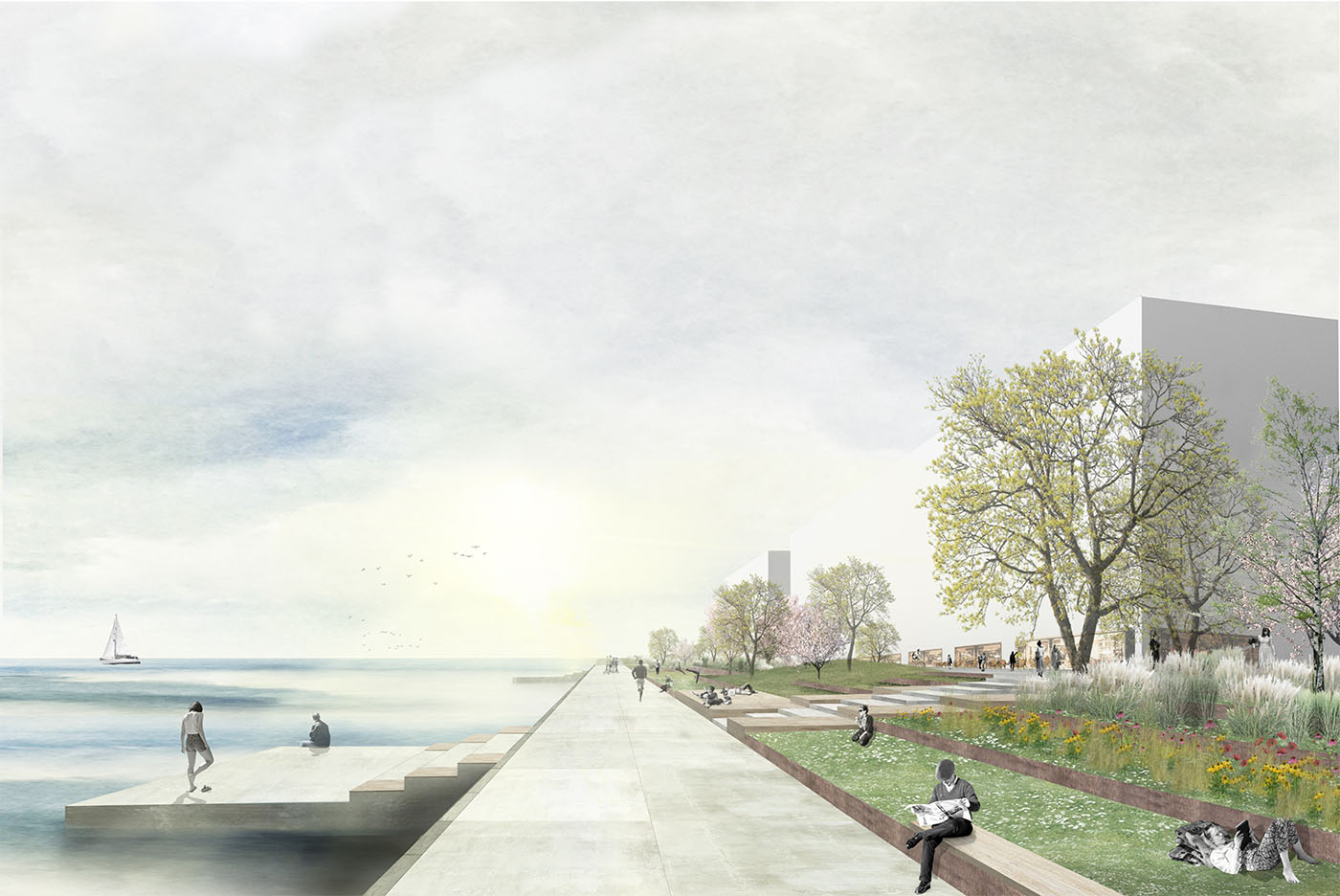
The design of the southern shore is inspired by Finnish coastal cliff environments. It accentuates the long views towards the horizon. A green area frames the top area, from here, large concrete ramps dive directly into the Baltic Sea. During summertime, this will be the urban beach of Nihti, and during cold winters it creates the opportunity for a sledge ride that ends on top of the frozen sea.
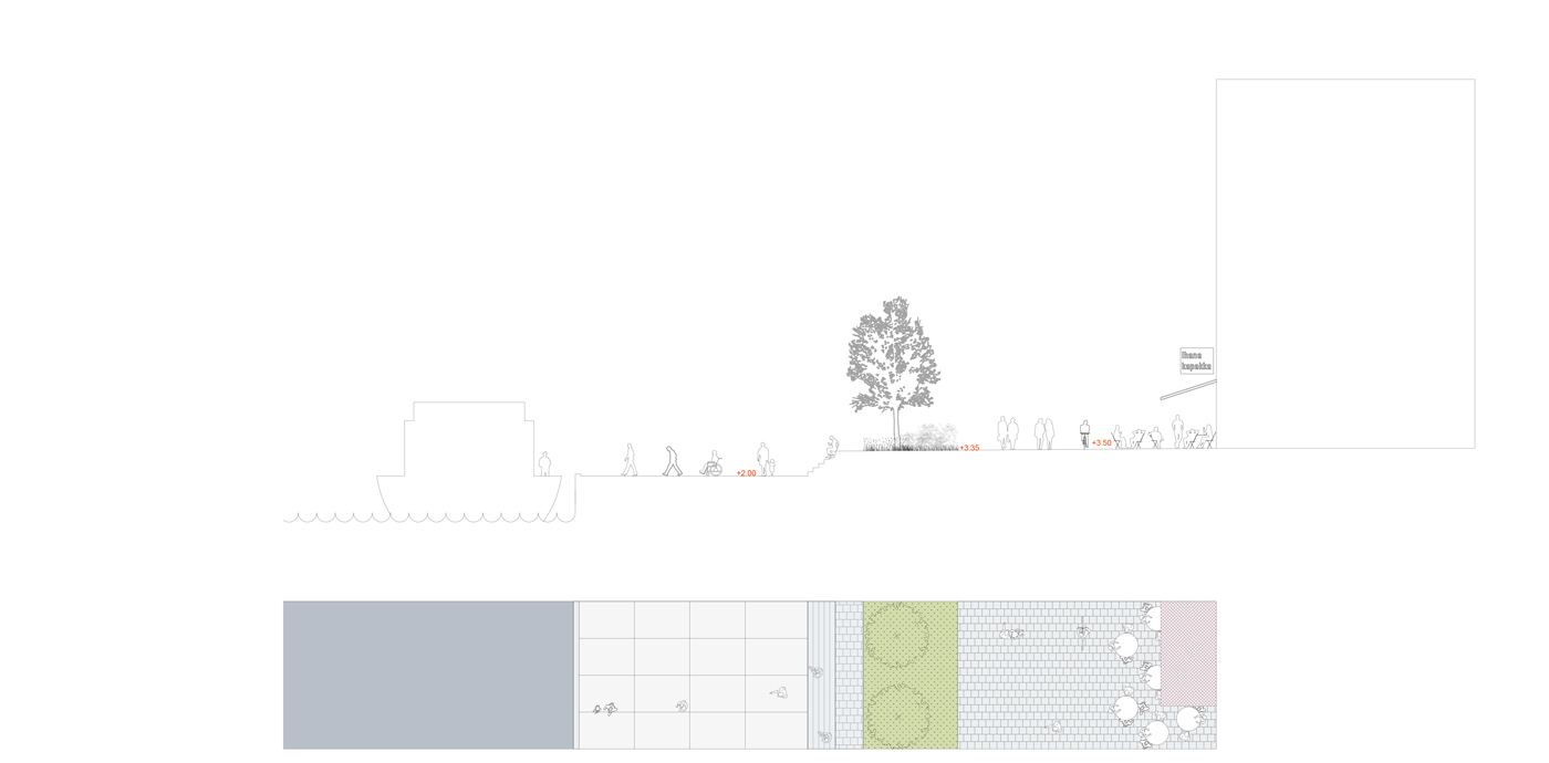
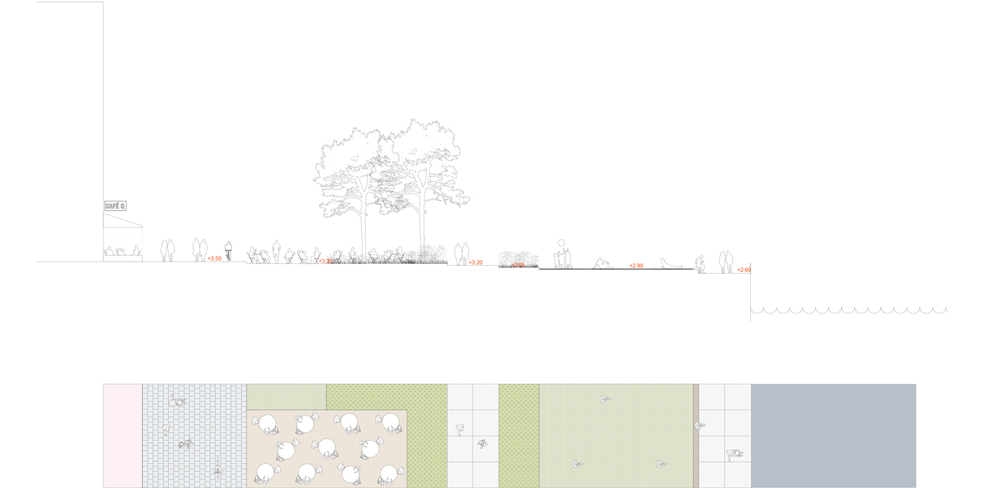
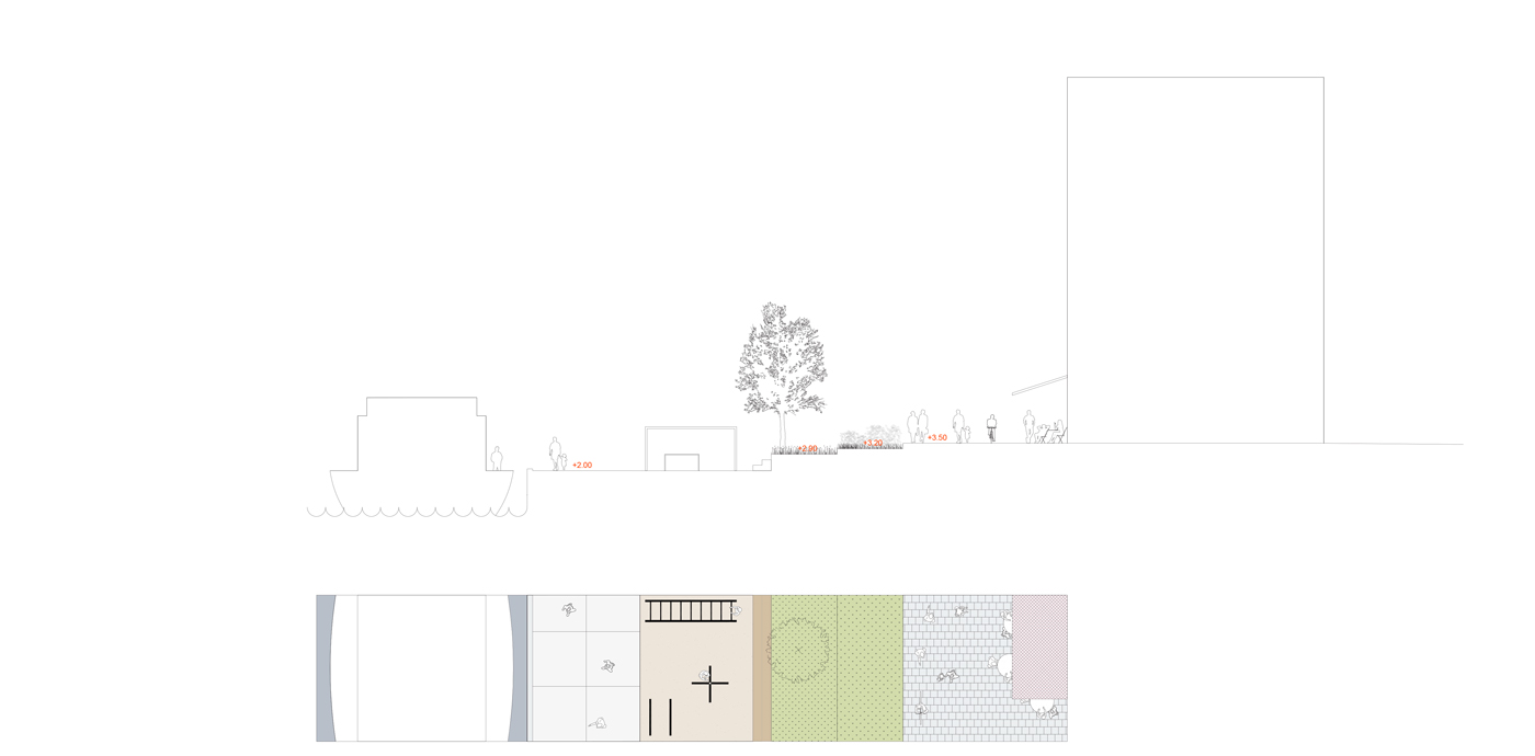
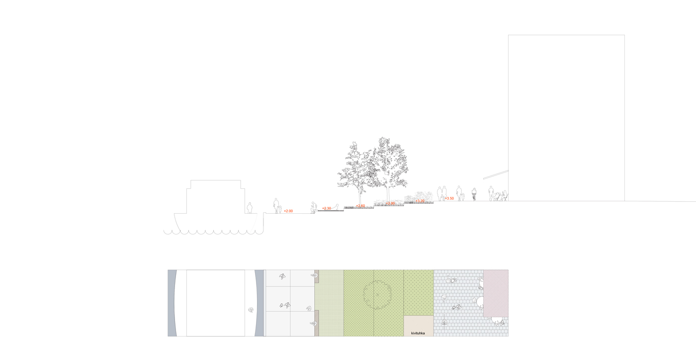
On the east side of the island, a terraced linear park connects the waterside level to that of the build area, providing the largest green space of the neighbourhood. A diverse planting palette is proposed, as a reflection of the coastal character of the eastern archipelago, with unprogrammed lawn areas. Additional activity-pockets provide the opportunity for sports and play.
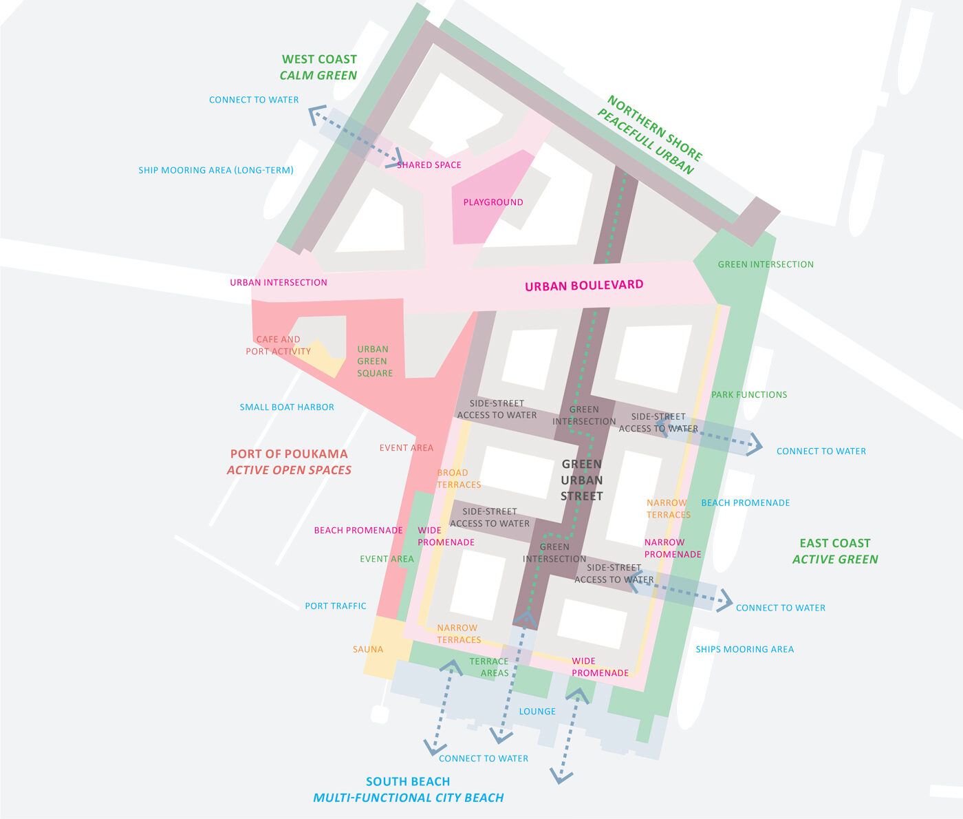
The character and programming of the shore areas reflect their context. The Harbour square at the west shore will form the neighbourhood heart. Here will be room for events and together with the harbour, it will ensure an area filled with urban activity. The south shore is all about the sea with multiple stay options and access to the water. The east shore reflects the calm green character of the archipelago with solitary fitness and sports stations.
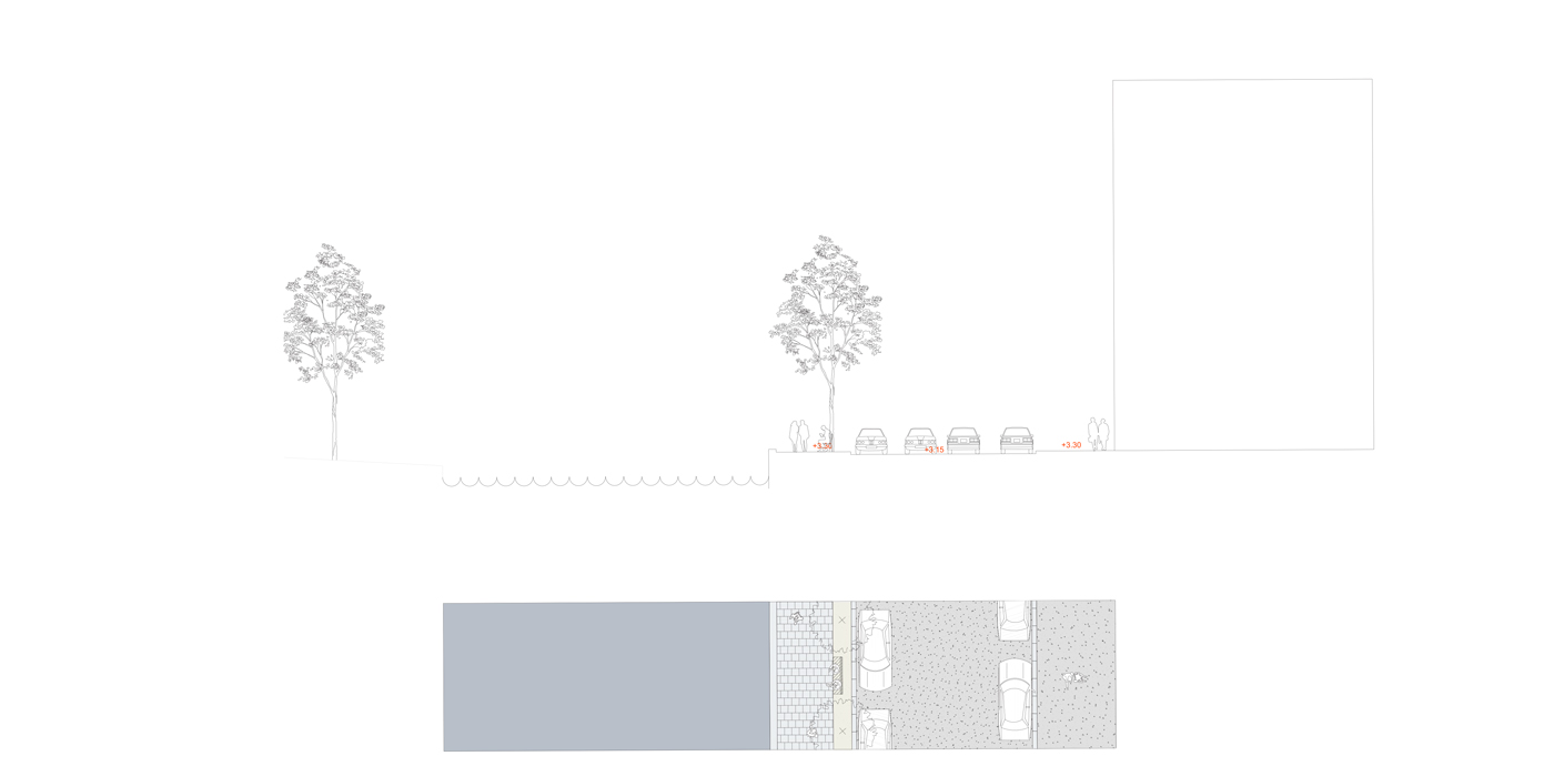
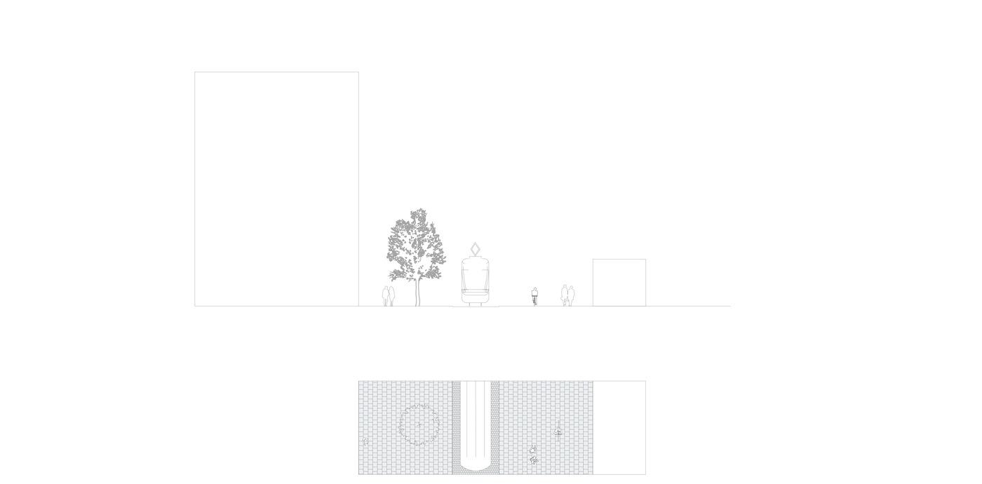
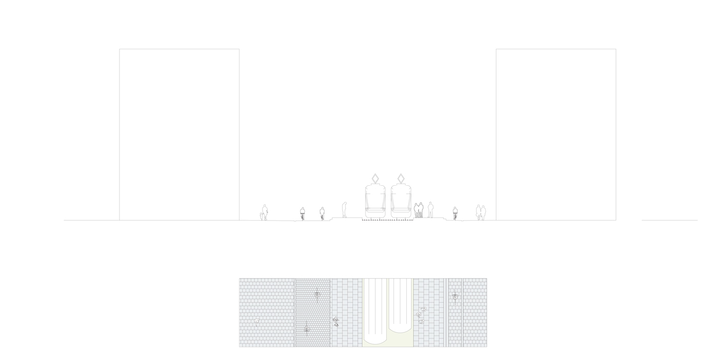
Plans and sections showing the different characters of Nihti’s shores
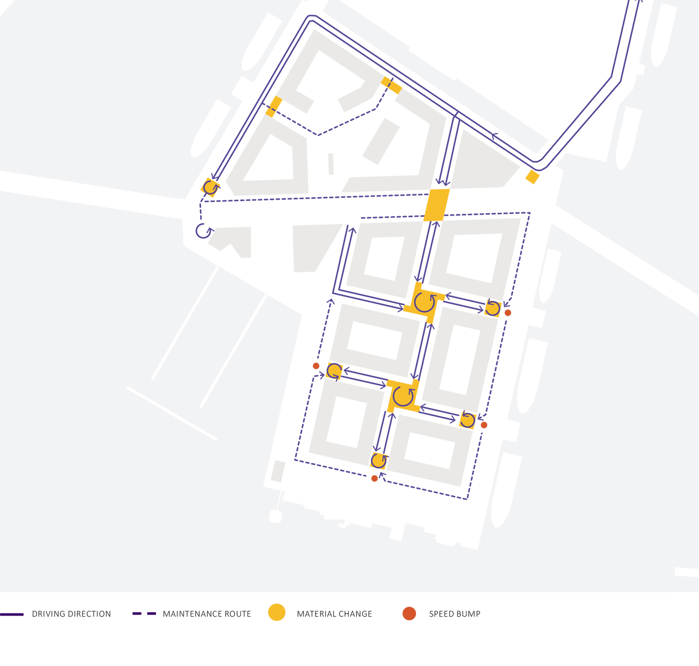
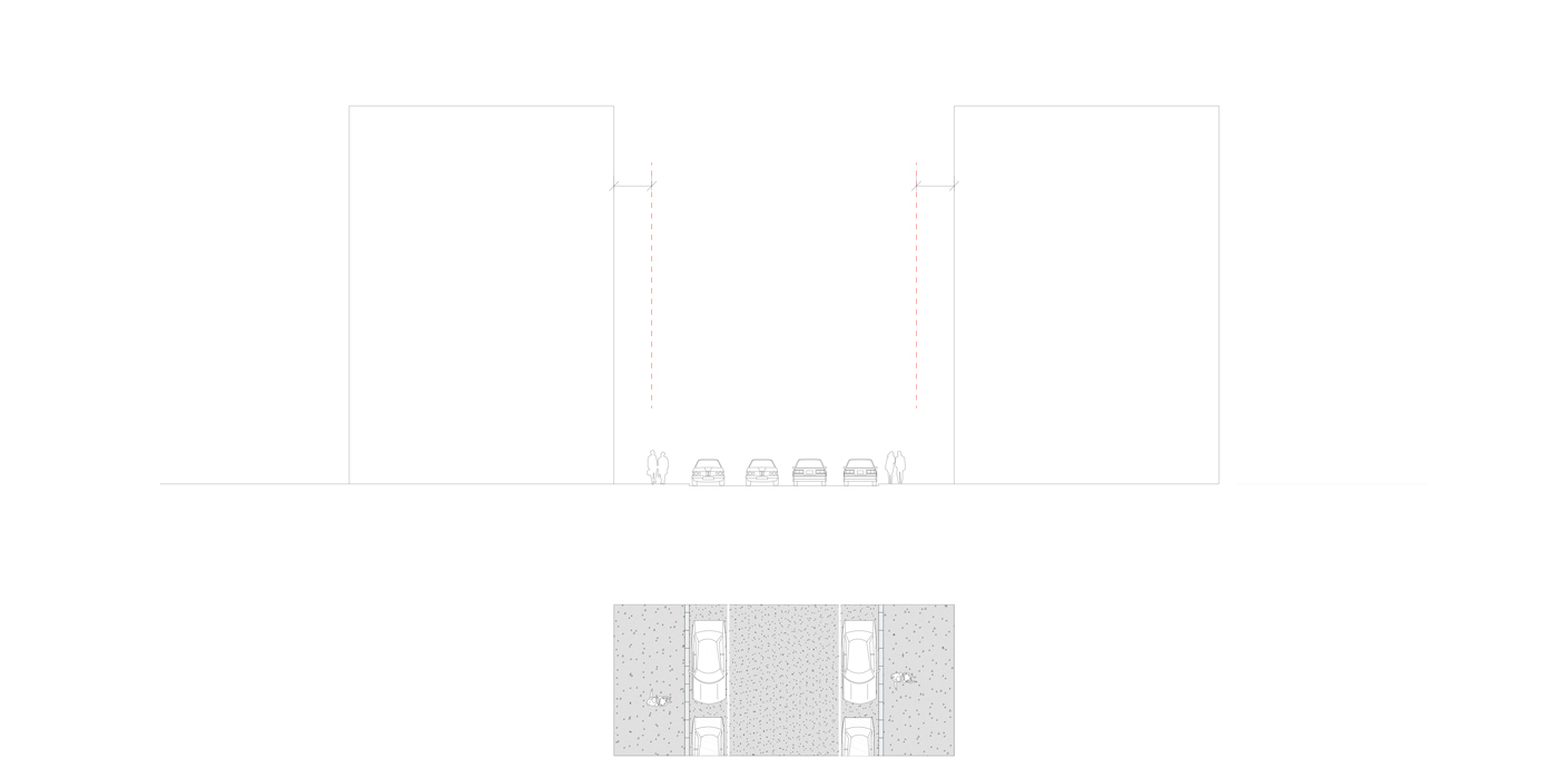
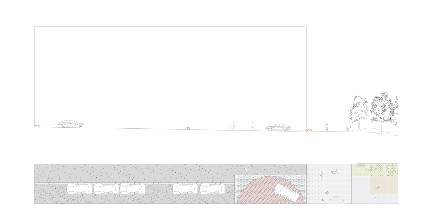
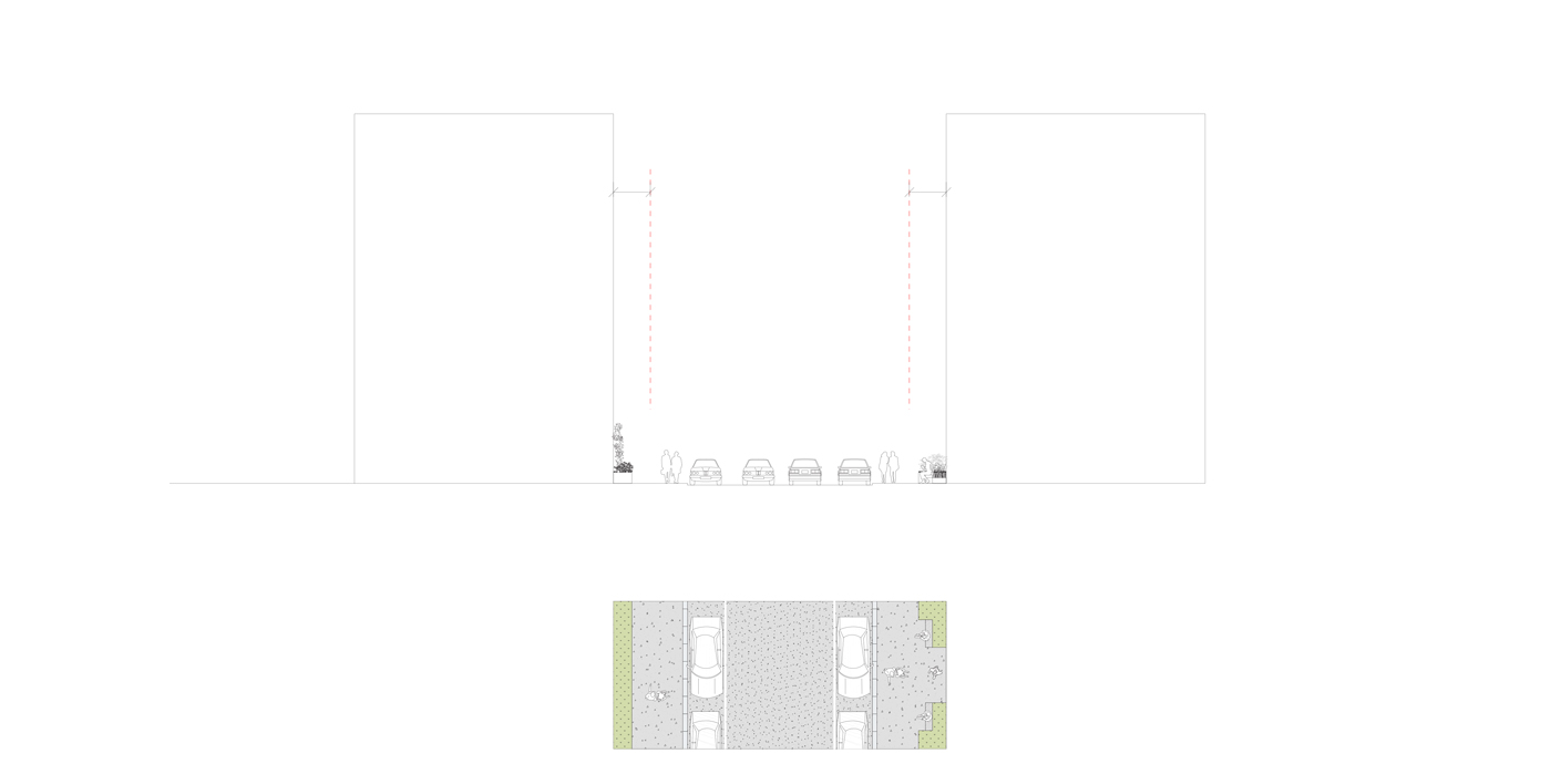
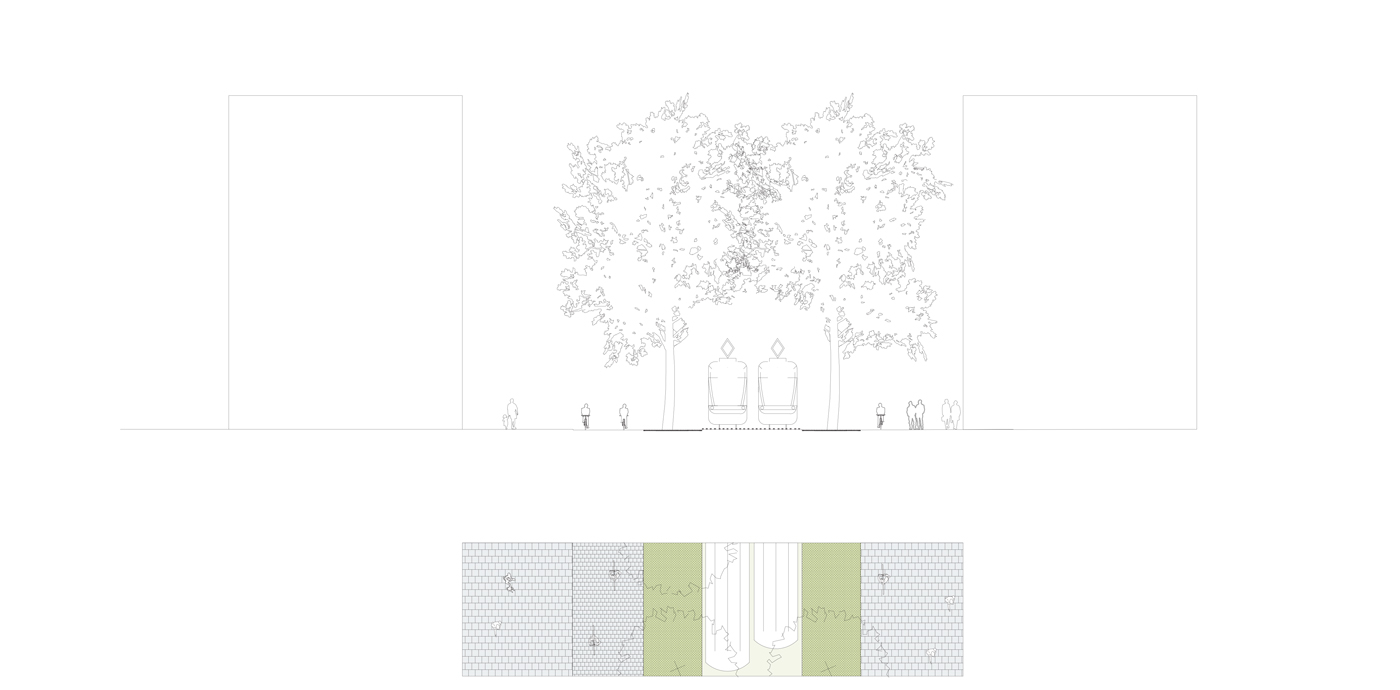
Plans and sections showing the streets of Nihti’s inner residential areas
Diversity in materiality establish characteristic urban environments
The urban layers all differentiate between the inner residential area and the four public shores; the urban promenade towards west, the beach towards the south, the natural green coast towards the east and the
channel towards the north. The Nihti DNA is continued through the choice of material, new plantings and the programming of the shore areas.
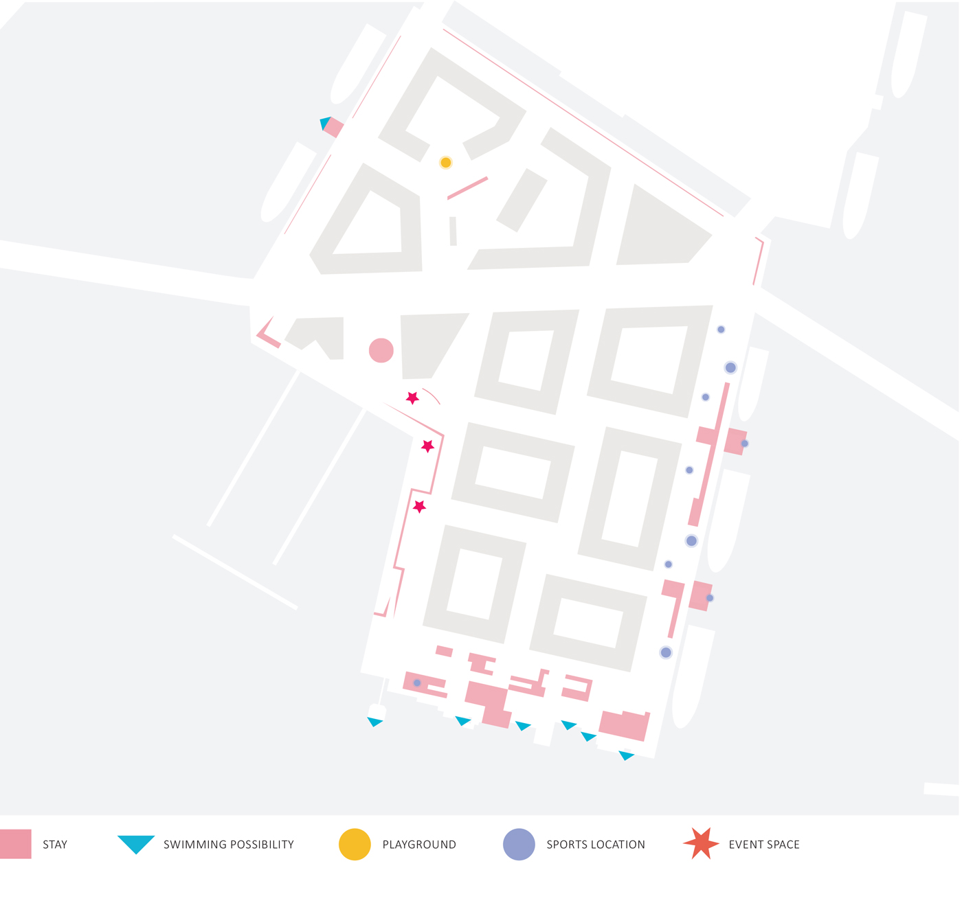
Programming and activities
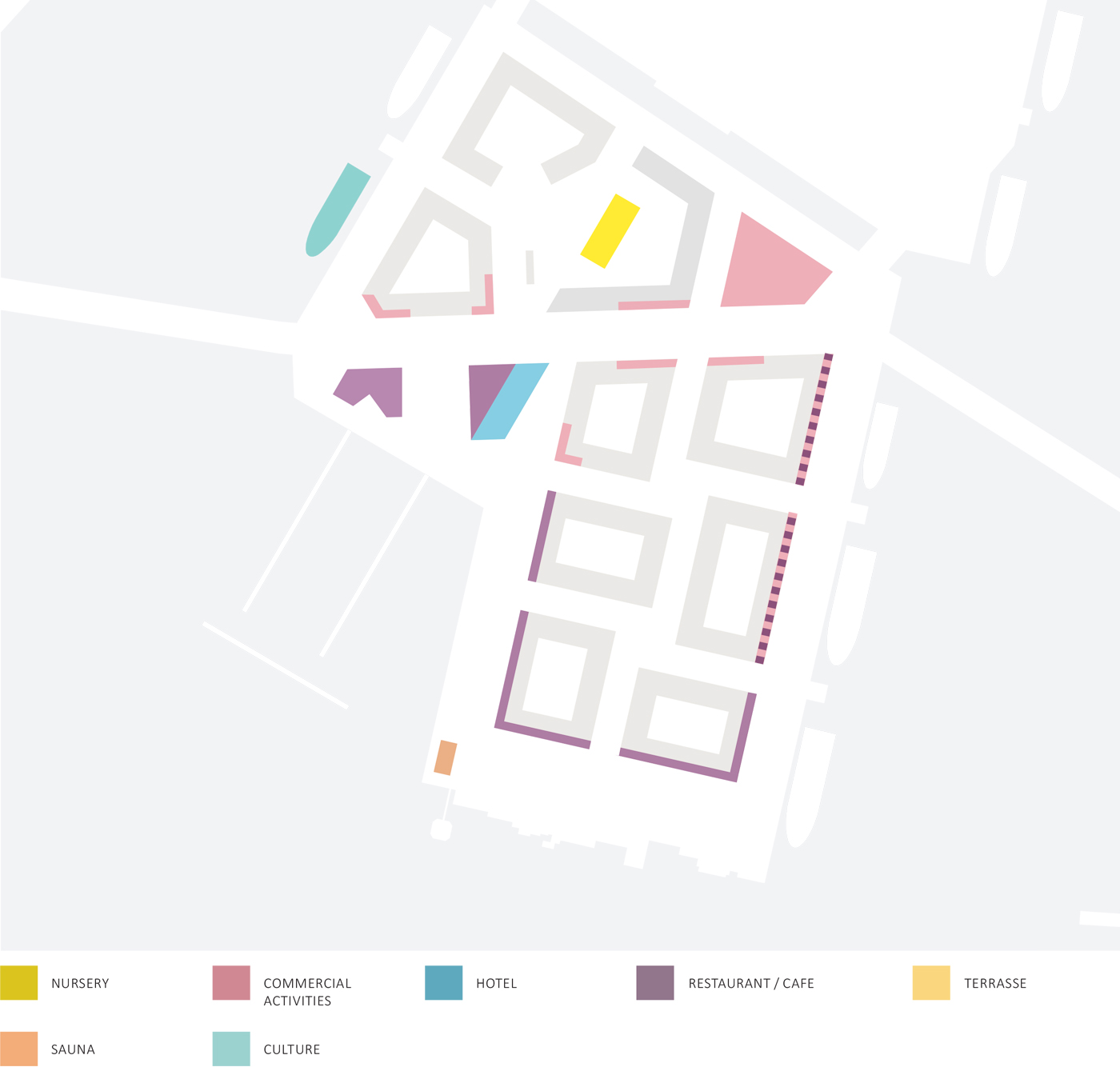
Functions
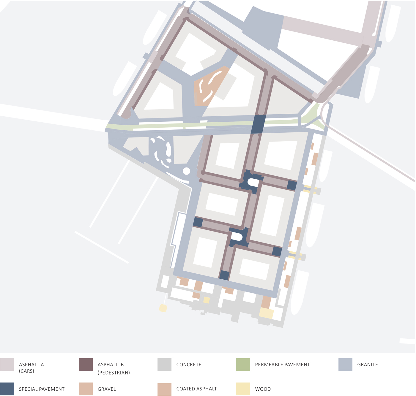
Pavement strategy
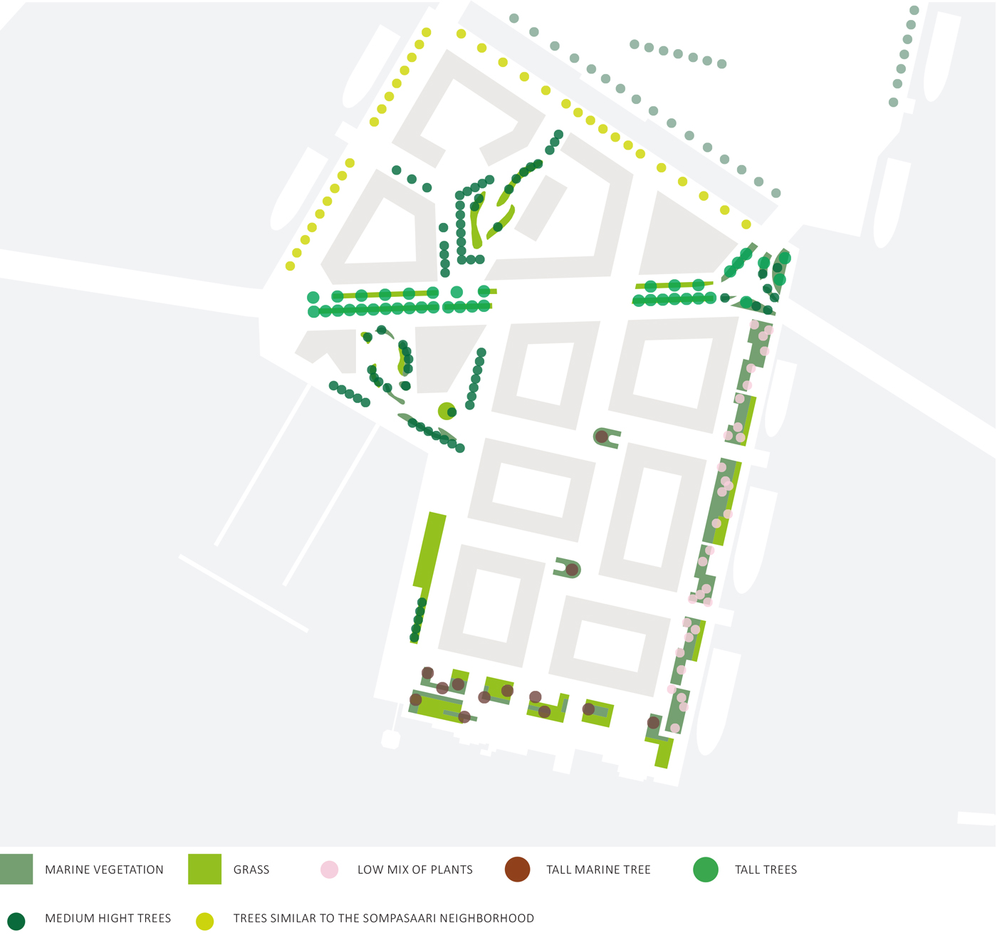
Planting strategy
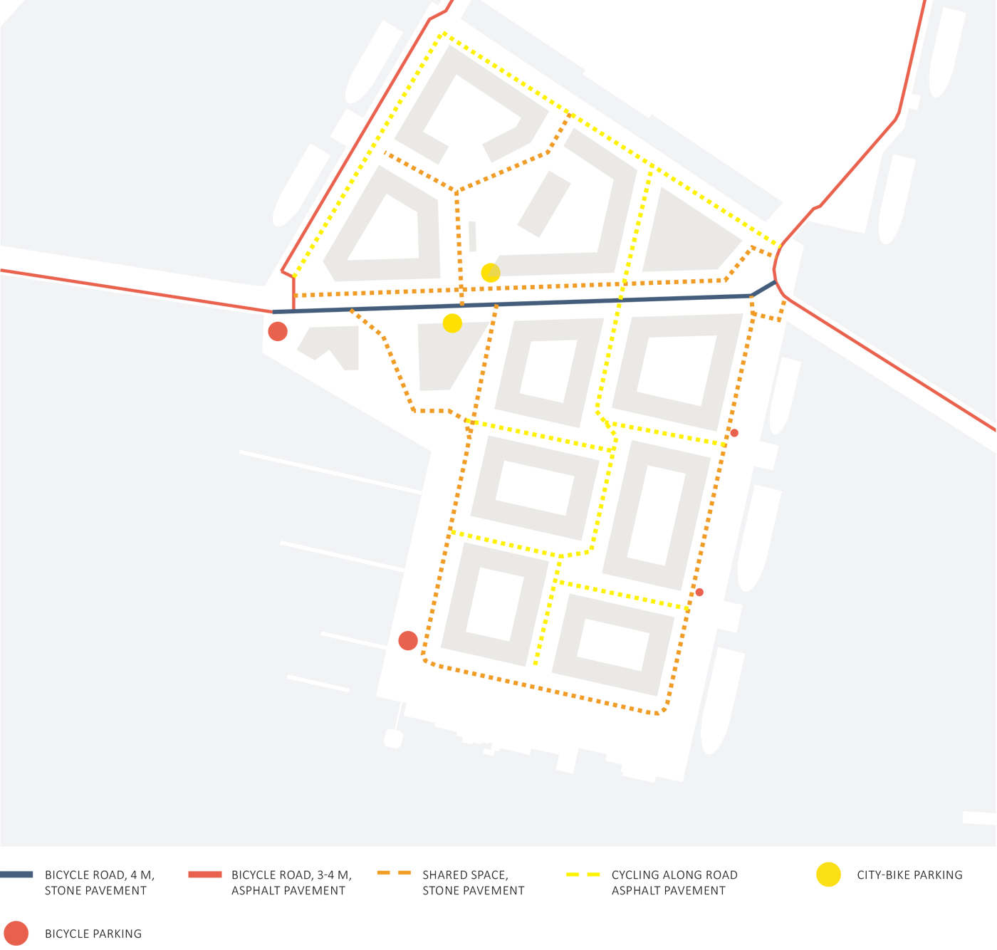
Pedestrian connections and bicycle paths
