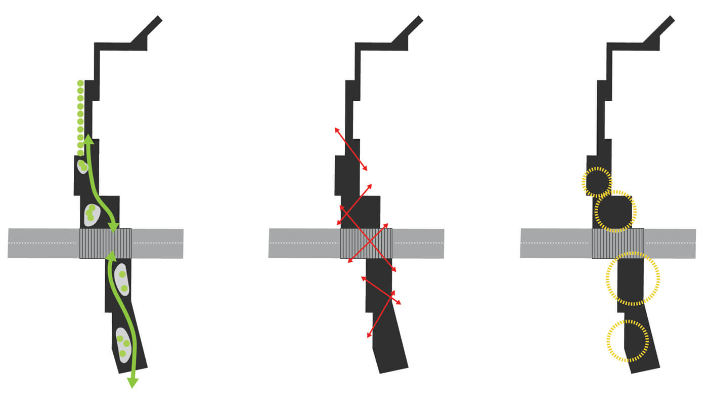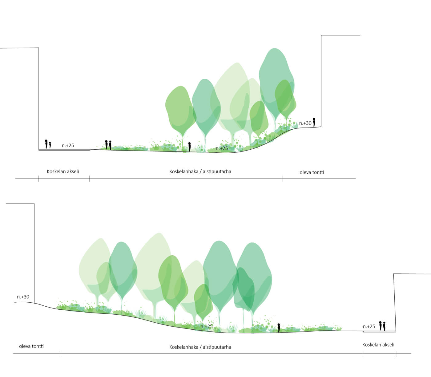
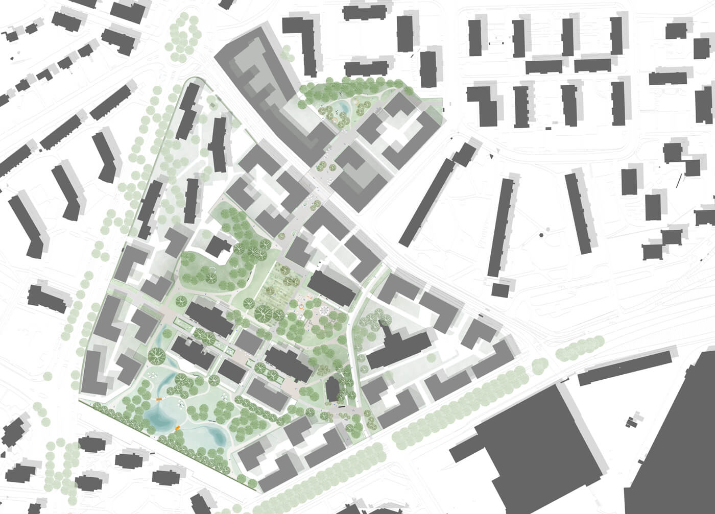
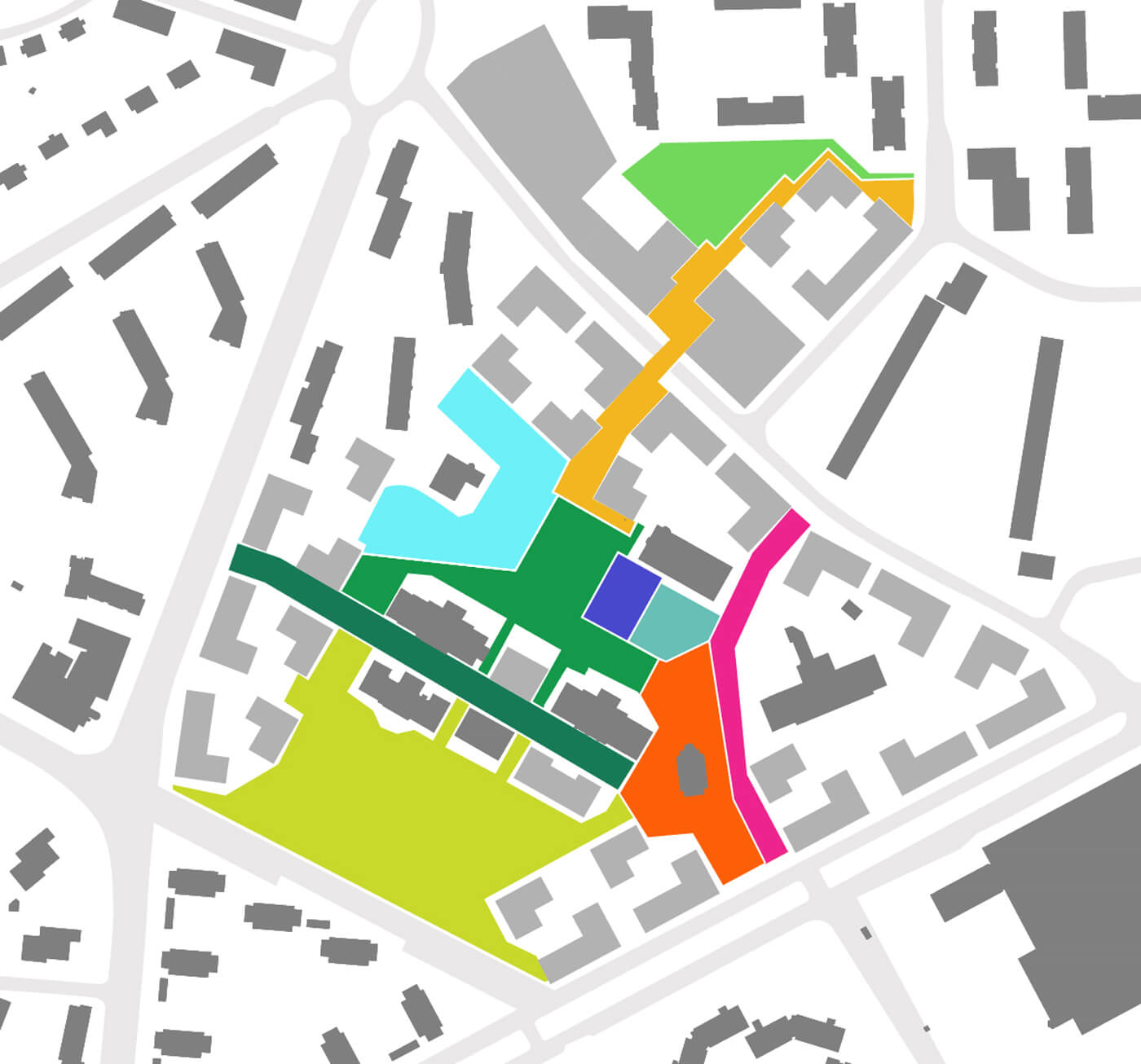
Koskela planning area consists of three distinct park spaces: The northern Koskelanhaka (Koskela Paddock), Southern Rohtopuutarha (Remedy Garden), and a park ensemble in the middle.
The green complex is examined as separate but strongly interconnected sections, which form together a continuous park space.
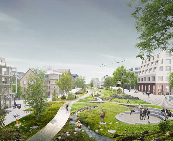
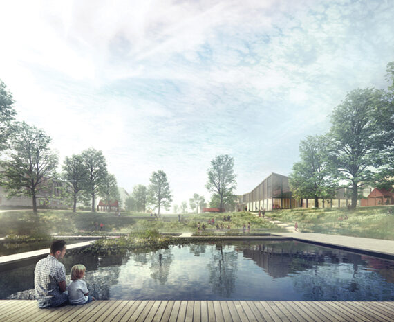
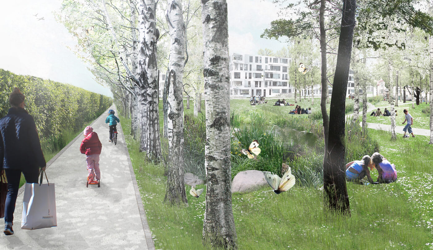
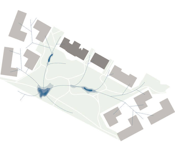
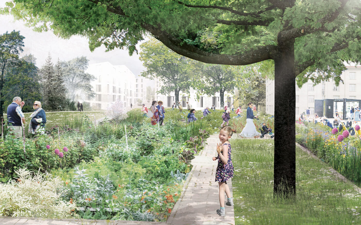
Existing birch rows characterize Rohtopuutarha area and are to be preserved. On the park theme, the plan suggests a landscape reminiscent of Finnish countryside fields with a scattering of birch islands. The runoff water is led from the central passageway, Paviljonkikuja (Pavilion Path) into a retention basin/pond in Rohtopuutarha. Additionally, run-off from the new district’s roofs can be led to the retention ponds.
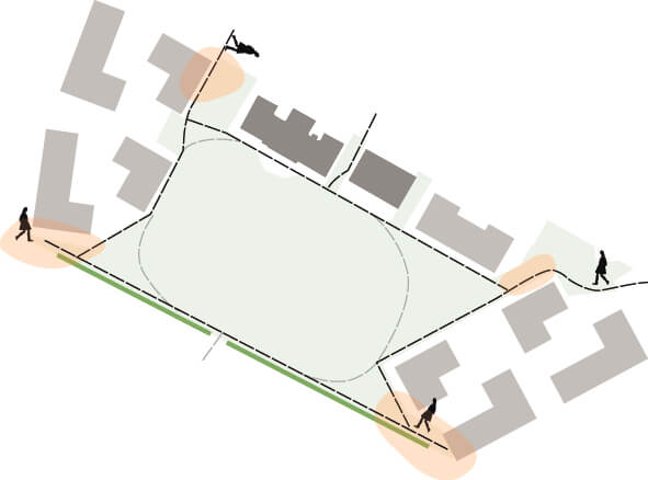
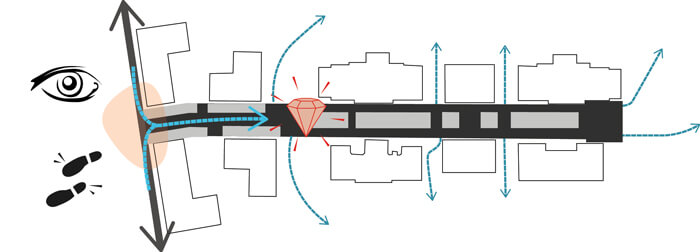
Rohtopuutarha park has a secluded nature, and the plan wishes to prevail the ”secret garden” character. To lure passersby to the park, the entrance points are designed to be especially inviting and accessible.
Main routes are directed towards the edges, only the necessary paths are drawn through the park green. By drawing the public routes closer to facades, unnecessary no-man’s land is avoided, enabling the fullest use of park space.
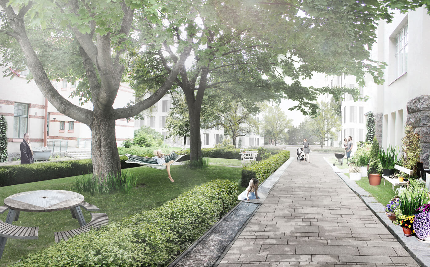
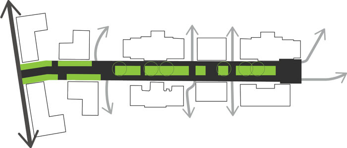
The design of the beds on Paviljonkikuja, “Pavilion Path” reflects the axis’s historic orthogonal form language. The path is divided into a spatial relationship of a new public entrance space and a semi-public, communal recreational space.
The plan creates a clear contrast between these two types of spaces and their use. Spaces for recreation and lingering are placed by the south-facing facade. They are distributed both under the shade of foliage and on un-shaded, sunny spots to enable active use during different times of year.

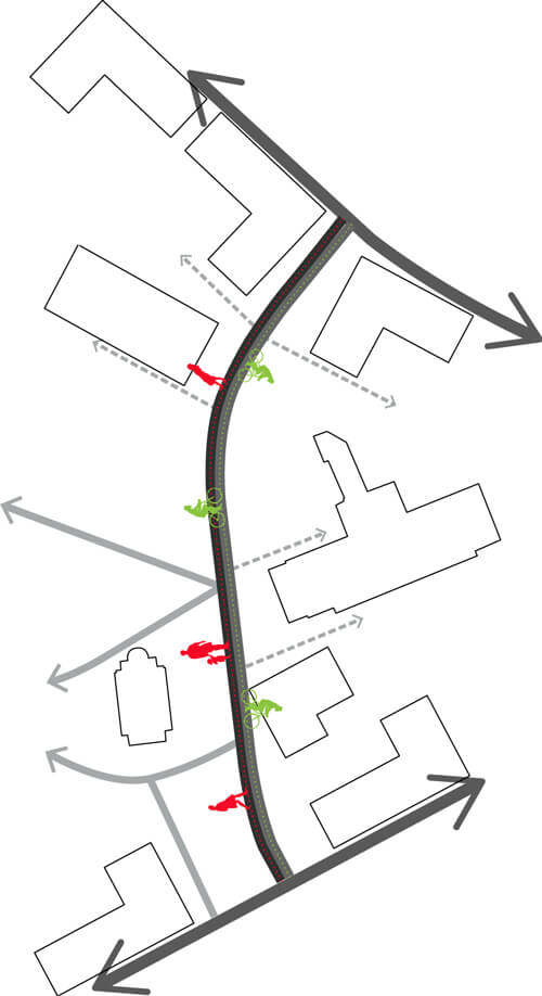
Original style and composition will be respected and taken into account in the chapel’s surroundings. The plan proposes new visual connections from the street to the chapel. The fast through road, Kappelinkulku (Chapel Passage) and the chapel’s square are separated with a sector of trees. On the chapel passage pedestrian and bicycle traffic have separate lanes.
Public routes connecting the park spaces are clearly distinguished from more private property exits. The plan intends to preserve surrounding trees, thus creating a park-like environment for light traffic which differentiates from the surrounding roadways. The plan indicates places for stopping and lingering by the pedestrian lane on the passageway.
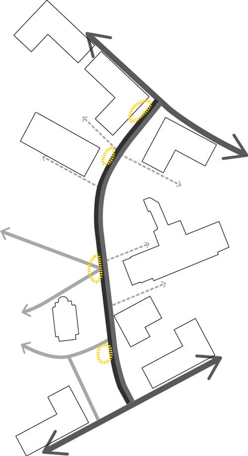
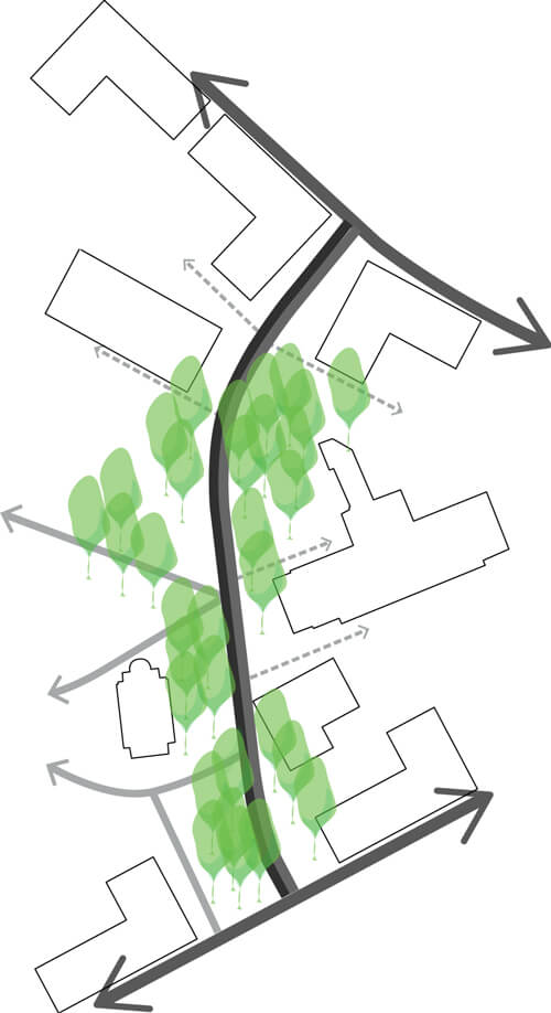
Koskela axis in the northern part of the site avoids symmetrical composition in planting. A varied design strengthens spatial diversity, which gives an impression of lush green but is at the same time light and luminous.
A uniform surface material stretching from one facade to the other, ties the street scape together and accentuates a square-like character.
