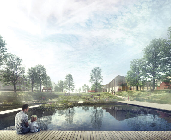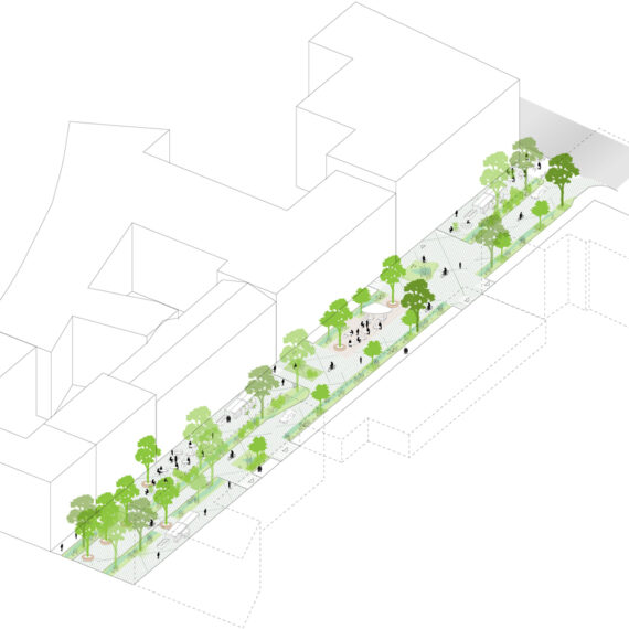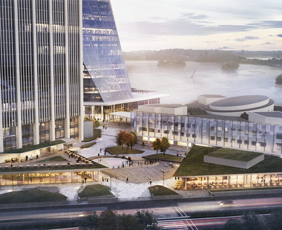


Tyynenmerenkatu street plan’s takes its atmospheric idea from a transition from the marine waterfront, reminding of the skerries and the bare outer archipelago, towards a more sheltered greener and urban city space, reminiscent of the Finnish inner islands. At the southernmost end of the street, close to the sea, the vegetation principle follows that of an organic, coastal plant life that is sparse and wild. In the North the planting changes to a more park and garden-like, lush and “cultivated” vegetation.
The concept is also reflected in the spatiality of the trees, which on the shore give space for views, and gradually towards northeast accentuate a more dense urban space. The tree species are diverse and are phased from the more bare trees that thrive on rocky terrain to the more leafy and verdant, cultural trees.


Estimated pedestrian flows on site.

Pavement and planting distribution.

Pavement type gradient.

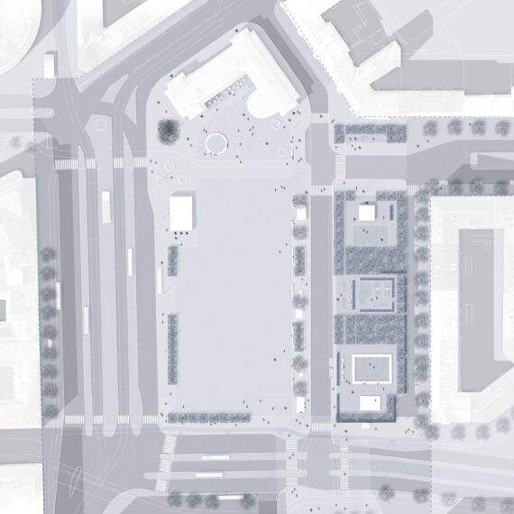
Squares and significant junctions are highlighted with special pavement motifs.
The concept of transition is also mirrored in the surfaces and pavement of the street, where the openness of the shore and views is emphasized with lighter stone and a more reflective, smoother surface treatment, whereas the movement towards North is made visual with rougher and darker surfaces, furthermore depicting the classical features of Helsinki’s urban street surfaces.
Especially important in the urban space are the functionally vibrant hubs. These specific spots are highlighted with an accentuated pavement detail, thus forming square-like places that stand out from the other street spaces.
The specially marked pavements are situated in the most active areas, such as the entrance squares of the terminals and outside shops and hotels, and are mostly located on the eastern side of the planning site. The colour principle for the street surface is a reference to the sea surface and its shade nuances in sunlight. The surface appears lighter against the horizon and darker towards the viewer. On Tyynenmerenkatu the paving is lighter towards the horizon and darker towards the city. Four different shades of stone are used to form a flowing gradient.


Diagrams studying the distribution of plant types and colour division according to time of year. In the North the planting changes to a more park and garden-like, lush vegetation.

Distribution of different types of trees and vegetation.

Conceptual image of vegetation in winter.

Vegetation in summer.

Section showing lighting elements and a sitting edge on the sides of planting areas.
The lighting plan in Tyynenmerenkatu emphasizes the terminal entrances and squares with a special hanging mesh lighting.
In-between the accentuated mesh lights, hanging street lamps are supported by round pillars that also serve the tram line.


